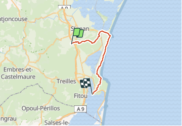

15.3 km | 22 km-effort


User


FREE GPS app for hiking
 SityTrail
IGN / Geographical institutes
SityTrail World
The world is yours!
Trail Walking of 29 km to be discovered at Occitania, Aude, Roquefort-des-Corbières. This trail is proposed by LucThomaere.
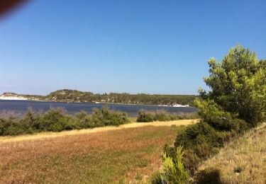
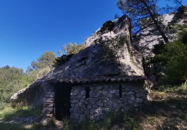
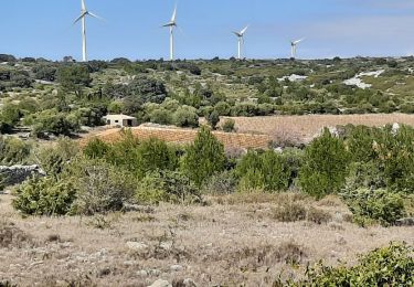
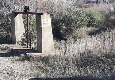
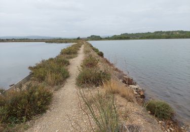
Zeer afwisselende tocht. Het eerste deel door een droog en eenzaam hoogplateau (een deel van Le Sentier des Cathares), daarna een lange strandwandeling, een vochtig natuurreservaat, een een schiereiland met wijngaarden.
Niet moeilijk van terrein maar van lengte wel stevig
Walking

Walking

On foot

Walking
Walking
Walking

Walking