


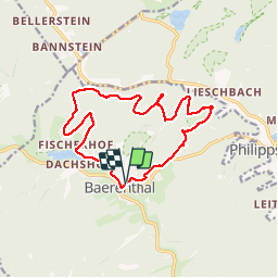


16.1 km | 22 km-effort

User


FREE GPS app for hiking
 SityTrail
IGN / Geographical institutes
SityTrail World
The world is yours!
Trail Walking of 14.4 km to be discovered at Grand Est, Moselle, Baerenthal. This trail is proposed by VacheKiri67.
Faite le 30/03/2018 avec notre fils Théo de 13 ans et nos amis régionaux de l'étape Eléonore et Bernard.


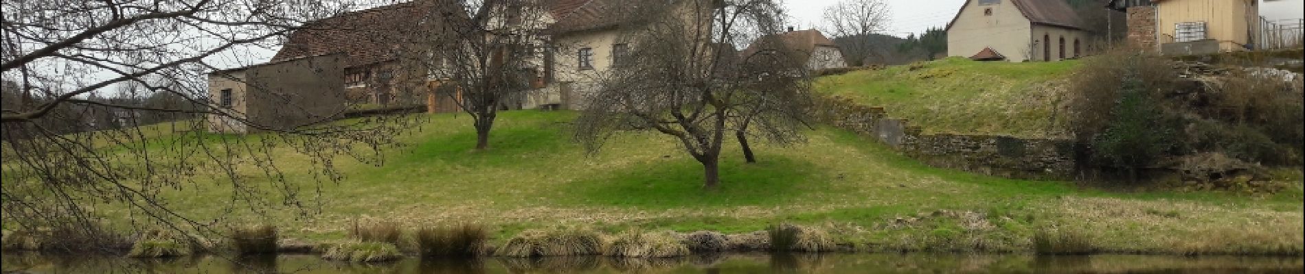
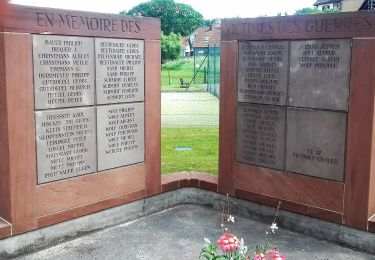
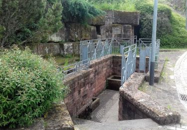
22 photos in total. Please click on a photo to see them all in the gallery.

Walking

Horseback riding
On foot
On foot


On foot

On foot

On foot