


22 km | 27 km-effort


User


FREE GPS app for hiking
 SityTrail
IGN / Geographical institutes
SityTrail World
The world is yours!
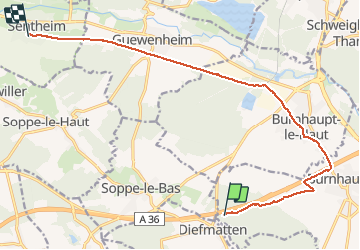
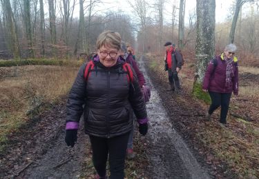
Trail Walking of 13.2 km to be discovered at Grand Est, Haut-Rhin, Burnhaupt-le-Bas. This trail is proposed by helmut68.
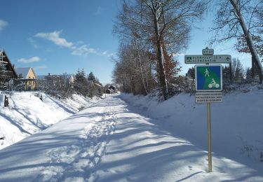
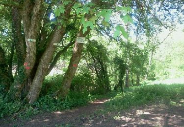
Suite du parcours GR531( Sentheim Diefmaten) pour revenir à Sentheim. On longe un peu l'autoroute pour arriver à Burnhaupt le Haut puis continuer par la piste cyclable jusqu'à Sentheim.
Walking
Walking
Walking
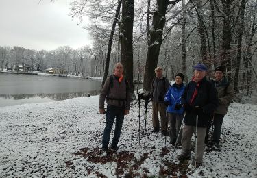
Winter sports
Walking

Cycle
Walking
Walking
Walking