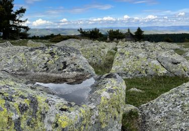
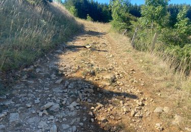
38 km | 47 km-effort
vtt 2018 j4 court
Mariolebeno
User
Length
23 km
Max alt
1699 m
Uphill gradient
678 m
Km-Effort
33 km
Min alt
875 m
Downhill gradient
870 m
Boucle
No
Creation date :
2018-04-17 23:10:22.68
Updated on :
2018-04-17 23:10:22.68
2h05
Difficulty : Medium
FREE GPS app for hiking
About
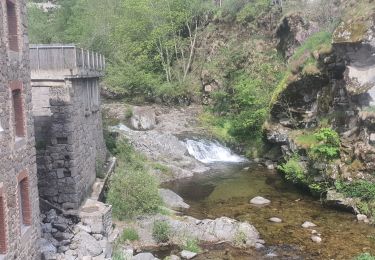
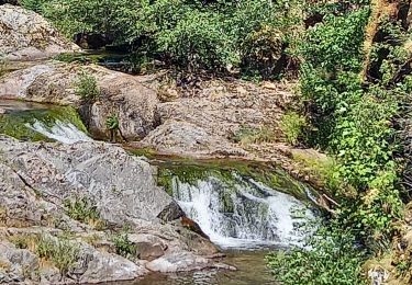
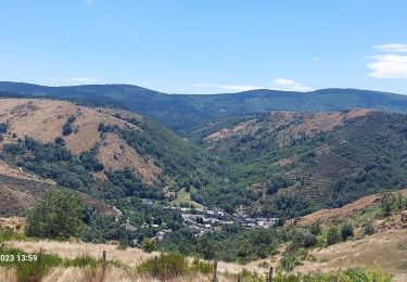
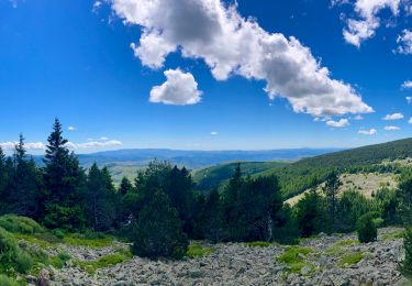
Trail Mountain bike of 23 km to be discovered at Occitania, Lozère, Mont Lozère et Goulet. This trail is proposed by Mariolebeno.
Positioning
Country:
France
Region :
Occitania
Department/Province :
Lozère
Municipality :
Mont Lozère et Goulet
Location:
Le Bleymard
Start:(Dec)
Start:(UTM)
558800 ; 4926573 (31T) N.
Comments
Trails nearby
Bleymar _ Le Pont Montvert
Walking
Difficult
(1)
Mont Lozère et Goulet,
Occitania,
Lozère,
France
22 km | 32 km-effort
5h 19min
No
Chemin de Stevenson - Le Bleymard vers Le Pont de Montvert
Walking
Difficult
(1)
Mont Lozère et Goulet,
Occitania,
Lozère,
France
18.9 km | 28 km-effort
4h 30min
No
12-05-2023 E7 Bonnetés - Le Pont de Monvers
Walking
Difficult
Mont Lozère et Goulet,
Occitania,
Lozère,
France
25 km | 35 km-effort
7h 59min
No
Stevenson étape 8
Walking
Difficult
Mont Lozère et Goulet,
Occitania,
Lozère,
France
20 km | 30 km-effort
5h 29min
No
Le Bleymard_La Crouzette par le chemin Stevenson_10,5Km
Walking
Difficult
(1)
Mont Lozère et Goulet,
Occitania,
Lozère,
France
10.6 km | 14.4 km-effort
3h 2min
Yes
Etape 6 le Bleymard / Pont Montvert
Walking
Difficult
Mont Lozère et Goulet,
Occitania,
Lozère,
France
20 km | 29 km-effort
5h 31min
No
ETANG DE BARANDON PAR LA STATION DE SKI
Electric bike
Medium
Cubières,
Occitania,
Lozère,
France
31 km | 36 km-effort
2h 11min
Yes
Fait GTMC 2022 E3 3b
Mountain bike
Difficult
Mont Lozère et Goulet,
Occitania,
Lozère,
France
51 km | 68 km-effort
7h 43min
No