


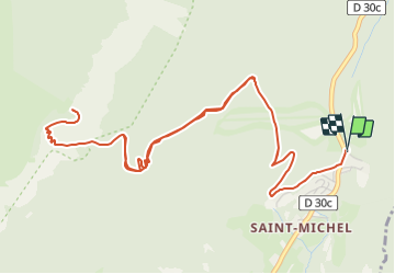

9.1 km | 18.6 km-effort


User


FREE GPS app for hiking
 SityTrail
IGN / Geographical institutes
SityTrail World
The world is yours!
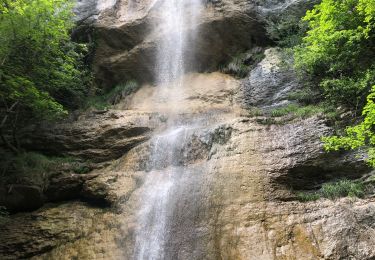
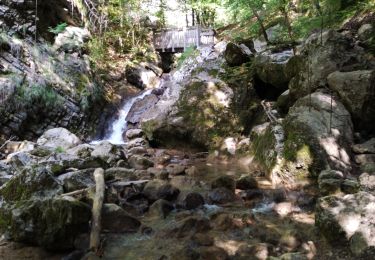
Trail Walking of 7.9 km to be discovered at Auvergne-Rhône-Alpes, Isère, Plateau-des-Petites-Roches. This trail is proposed by Phil36.
Pour beaucoup l'une des plus belles de Chartreuse. De son sommet culminant à 1830m, vous aurez une vue magnifique sur la chaîne de Belledonne. le Mont Blanc et sur l'immense alpagne du Vallon de Marcieu.
Walking

Walking

Walking

Walking
Walking
Walking
Walking
Walking
Walking