


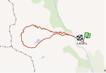


10 km | 18 km-effort

User


FREE GPS app for hiking
 SityTrail
IGN / Geographical institutes
SityTrail World
The world is yours!
Trail Snowshoes of 8.6 km to be discovered at Provence-Alpes-Côte d'Azur, Hautes-Alpes, Névache. This trail is proposed by destras.
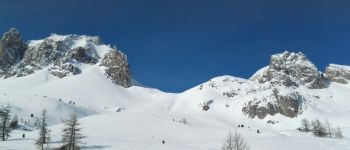
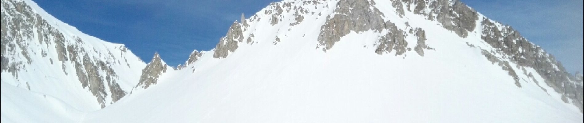
Magnifique randonnée au dessus de 2500m. Montée à droite vers les Cerces. Contournement des Crêtes de Moutouze en passant à gauche du lac Sorcier. Puis vers le lac des Beraudes et descente hors traces vers Laval.


Walking

Walking

Walking

Walking

Walking

Walking

Via ferrata

Walking

Walking