


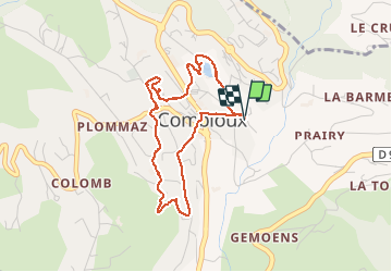

47 km | 90 km-effort

User


FREE GPS app for hiking
 SityTrail
IGN / Geographical institutes
SityTrail World
The world is yours!
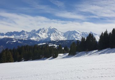
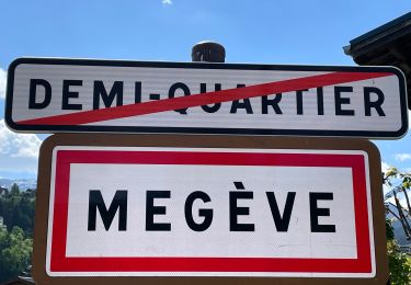
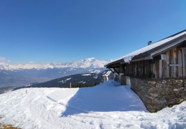
Trail Walking of 4 km to be discovered at Auvergne-Rhône-Alpes, Upper Savoy, Combloux. This trail is proposed by GerardBouche.
Parcours sympa par le plan d'eau biotope, son église remarquable dédiée à St-Nicolas de Myre et ses alentours.
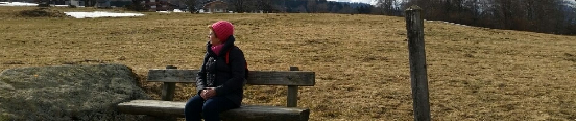
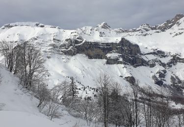
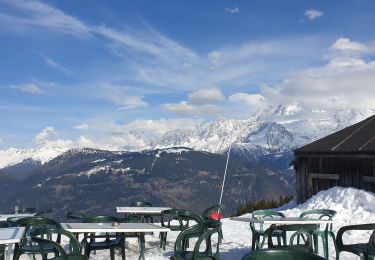
 - Photo 1")
 - Photo 2")
 - Photo 3")
 - Photo 4")
 - Photo 5")
 - Photo 6")
 - Photo 7")
 - Photo 8")
 - Photo 9")
 - Photo 10")
 - Photo 11")
 - Photo 12")

Walking

Mountain bike

Walking

Walking
Snowshoes
Snowshoes
Touring skiing
Walking
Touring skiing