14.3 km | 15.8 km-effort
Cheverny étang Hurault 8km
YV24
User
Length
8.1 km
Max alt
121 m
Uphill gradient
63 m
Km-Effort
9 km
Min alt
98 m
Downhill gradient
65 m
Boucle
Yes
Creation date :
2018-04-17 22:14:26.649
Updated on :
2018-04-17 22:14:26.649
2h00
Difficulty : Easy
FREE GPS app for hiking
About
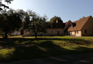
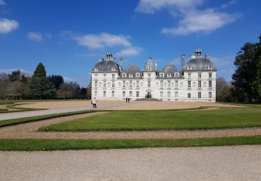
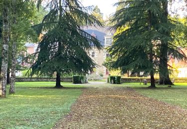
Trail Walking of 8.1 km to be discovered at Centre-Loire Valley, Loir-et-Cher, Cheverny. This trail is proposed by YV24.
Description
Boucle au départ D765 /chemin des boeufs. Par temps de fortes pluies récentes, des allées sont bien boueuses du fait des chevaux.
Positioning
Country:
France
Region :
Centre-Loire Valley
Department/Province :
Loir-et-Cher
Municipality :
Cheverny
Location:
Unknown
Start:(Dec)
Start:(UTM)
386709 ; 5259049 (31T) N.
Comments
Trails nearby
Cheverny 31 03
Walking
Difficult
(1)
Cheverny,
Centre-Loire Valley,
Loir-et-Cher,
France
3h 35min
Yes
cœur Cheverny 2020 10 02
Walking
Very easy
Cour-Cheverny,
Centre-Loire Valley,
Loir-et-Cher,
France
13.8 km | 15.5 km-effort
2h 59min
Yes
cour cheverny 2 septembre
Walking
Difficult
(1)
Cour-Cheverny,
Centre-Loire Valley,
Loir-et-Cher,
France
15 km | 16.8 km-effort
3h 37min
Yes
cheverny ; les huards;les mezes
On foot
Very easy
(1)
Cour-Cheverny,
Centre-Loire Valley,
Loir-et-Cher,
France
11.1 km | 12.1 km-effort
Unknown
Yes
190327Loire
Car
Very easy
Cheverny,
Centre-Loire Valley,
Loir-et-Cher,
France
56 km | 62 km-effort
6h 37min
No
Sob 9bis cheverny
sport
Very easy
Cheverny,
Centre-Loire Valley,
Loir-et-Cher,
France
5.6 km | 6.2 km-effort
Unknown
No
fontaines en sologne GS 01 /2024 9.5km
On foot
Easy
Fontaines-en-Sologne,
Centre-Loire Valley,
Loir-et-Cher,
France
9.5 km | 10.5 km-effort
2h 23min
Yes
fontaines en sologne GS 01/2024
On foot
Easy
Fontaines-en-Sologne,
Centre-Loire Valley,
Loir-et-Cher,
France
12.4 km | 13.7 km-effort
3h 6min
Yes
la gaucherie GS 11/2022
On foot
Easy
Fontaines-en-Sologne,
Centre-Loire Valley,
Loir-et-Cher,
France
13.8 km | 15.3 km-effort
3h 28min
Yes