42 km | 46 km-effort
180317 - Flins-sur-Seine
domelisa78
User
Length
14.3 km
Max alt
195 m
Uphill gradient
298 m
Km-Effort
18.3 km
Min alt
46 m
Downhill gradient
299 m
Boucle
Yes
Creation date :
2018-04-17 22:10:04.27
Updated on :
2018-04-17 22:10:04.27
3h54
Difficulty : Medium
FREE GPS app for hiking
About
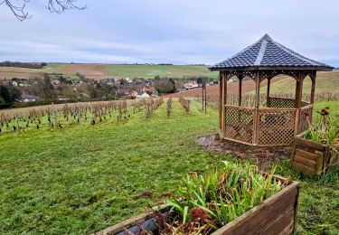
Trail Walking of 14.3 km to be discovered at Ile-de-France, Yvelines, Flins-sur-Seine. This trail is proposed by domelisa78.
Positioning
Country:
France
Region :
Ile-de-France
Department/Province :
Yvelines
Municipality :
Flins-sur-Seine
Location:
Unknown
Start:(Dec)
Start:(UTM)
417341 ; 5423900 (31U) N.
Comments
Trails nearby
Aulney sur Mauldre-La Falaise
Walking
Medium
(1)
La Falaise,
Ile-de-France,
Yvelines,
France
12.4 km | 15.9 km-effort
Unknown
Yes
EPONES > MAREIL 15 KM
Walking
Very easy
(1)
Épône,
Ile-de-France,
Yvelines,
France
14.7 km | 18.6 km-effort
3h 55min
No
petite balade autour du Gibouin
Walking
Very easy
Aubergenville,
Ile-de-France,
Yvelines,
France
7.7 km | 8.2 km-effort
1h 45min
Yes
Nezel - Aulnay sur Mauldre
Walking
Easy
(1)
Nézel,
Ile-de-France,
Yvelines,
France
9.2 km | 11 km-effort
2h 23min
Yes
Vaux les Huguenots
Walking
Easy
(2)
Aubergenville,
Ile-de-France,
Yvelines,
France
7.7 km | 10.1 km-effort
2h 10min
Yes
Trail 15K G.O-parc de la sautour
Running
Medium
(1)
Les Mureaux,
Ile-de-France,
Yvelines,
France
15.3 km | 18.7 km-effort
Unknown
No
La Seine impressioniste Etape 5 + Boucle Rosny - Mantes
On foot
Very difficult
Aubergenville,
Ile-de-France,
Yvelines,
France
39 km | 44 km-effort
10h 2min
No
sitytrail-grp-la-seine-impressionniste-parcours-complet
On foot
Very difficult
Aubergenville,
Ile-de-France,
Yvelines,
France
37 km | 43 km-effort
9h 42min
No