

Chemin Vicinal N°13 de Carlencas

jdelettrez
User

Length
8.5 km

Max alt
432 m

Uphill gradient
265 m

Km-Effort
12 km

Min alt
204 m

Downhill gradient
265 m
Boucle
Yes
Creation date :
2018-04-17 22:00:01.541
Updated on :
2021-04-08 18:42:59.701
2h30
Difficulty : Medium

FREE GPS app for hiking
About
Trail Walking of 8.5 km to be discovered at Occitania, Hérault, Mérifons. This trail is proposed by jdelettrez.
Description
Une montée sur le causse basaltique de Carlencas par un vieux chemin retrouvé sur le cadaste de 1827.
Pour randonneur averti.
Montée raide dans les châtaignés.
Points of interest
Positioning
Country:
France
Region :
Occitania
Department/Province :
Hérault
Municipality :
Mérifons
Location:
Unknown
Start:(Dec)
Start:(UTM)
521746 ; 4831002 (31T) N.
Comments
Trails nearby
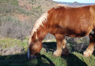
Malavieille - Montagne de la Boutine


Nordic walking
Easy
(1)
Mérifons,
Occitania,
Hérault,
France

7 km | 9.7 km-effort
Unknown
Yes
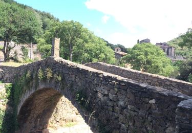
PEZENES les mines / FOS


Walking
Easy
(1)
Pézènes-les-Mines,
Occitania,
Hérault,
France

14.5 km | 19.2 km-effort
3h 45min
Yes

Octon (chapelle Notre Dame de Roubignac)


Walking
Easy
(1)
Octon,
Occitania,
Hérault,
France

14.7 km | 20 km-effort
5h 0min
Yes
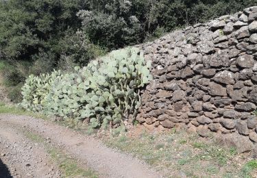
34 octon ND roubignac


Walking
Easy
Octon,
Occitania,
Hérault,
France

14 km | 19.8 km-effort
5h 10min
No

Octon 2017


Mountain bike
Difficult
(1)
Octon,
Occitania,
Hérault,
France

37 km | 48 km-effort
3h 4min
Yes

malevielle


Walking
Very easy
(1)
Mérifons,
Occitania,
Hérault,
France

14.8 km | 20 km-effort
4h 19min
Yes
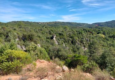
Carlencas


Walking
Easy
Carlencas-et-Levas,
Occitania,
Hérault,
France

44 km | 60 km-effort
4h 30min
No
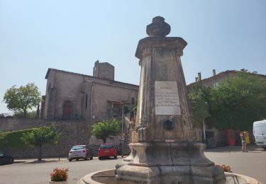
Octon - Chapelle ND de Roubignac et ruine château de Lauzières


Walking
Medium
Octon,
Occitania,
Hérault,
France

11.9 km | 15.9 km-effort
3h 3min
Yes
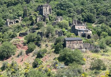
Octon dolmen château chapelle 2024


sport
Very easy
Octon,
Occitania,
Hérault,
France

13.9 km | 19.3 km-effort
Unknown
Yes


 SityTrail


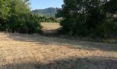
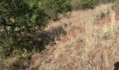
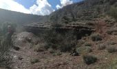
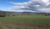
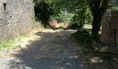
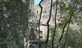


Promenade en dehors des sentiers battus. Heureusement, les indications permettent de ne pas se perdre. Beaux points de vue.
vallée sauvage