![](/images/other/stat-length.png)
![Trail Walking Heuvelland - Rando RCM du 26 mars 2018 - Photo](https://media.geolcdn.com/t/1900/400/ext.pjpeg?maxdim=2&url=https%3A%2F%2Fservices.sitytrail.com%2FGeolivesWS%2FDownloadMedia.ashx%3FTrailID%3D922937%26Media%3D20180314155013.jpg)
Rando RCM du 26 mars 2018
dautriche
User
![Length](/images/other/stat-length.png)
Length
25 km
![Max alt](https://static1.geolcdn.com/siteimages/upload/files/1508320355ic_sort_altitude_max_24dp.png)
Max alt
161 m
![Uphill gradient](https://static1.geolcdn.com/siteimages/upload/files/1508320355ic_sort_den_pos_24dp.png)
Uphill gradient
427 m
![Km-Effort](/images/other/stat-length.png)
Km-Effort
31 km
![Min alt](https://static1.geolcdn.com/siteimages/upload/files/1508320355ic_sort_altitude_min_24dp.png)
Min alt
29 m
![Downhill gradient](https://static1.geolcdn.com/siteimages/upload/files/1508320355ic_sort_den_neg_24dp.png)
Downhill gradient
427 m
![Boucle](https://static1.geolcdn.com/siteimages/upload/files/16400158638029165_repeat_loop_refresh_sync_direction_icon.png)
Boucle
Yes
Creation date :
2018-04-17 21:47:24.104
Updated on :
2018-04-17 21:47:24.104
![Walking](https://static1.geolcdn.com/sitytour/trail-icons/101.png)
6h45
Difficulty : Easy
![Scan this QR Code to open this trail in the SityTrail application](https://capi.geolives.com/qq0zvz2zws4bq2lad0pu/sitytour/trails/922937/qr.png?size=200)
FREE GPS app for hiking
About
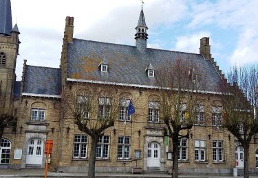
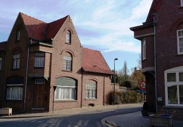
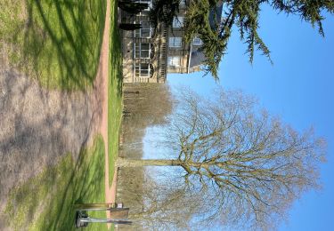
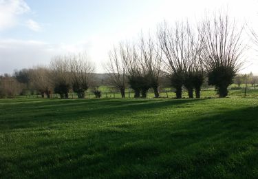
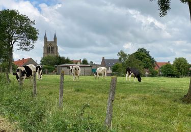
Trail Walking of 25 km to be discovered at Flanders, West Flanders, Heuvelland. This trail is proposed by dautriche.
Description
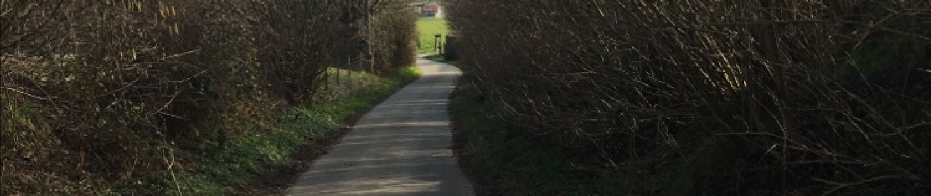
Bouclre depuis Kemmel, autour de Dranouter en suivant les sentes vallonnées des Monts de Flandres, boisées, herbeuses et un peu bitumées. Passage par le Conservatoire botanique de Bailleul et halte au truculent café Half Moon.
Positioning
Country:
Belgium
Region :
Flanders
Department/Province :
West Flanders
Municipality :
Heuvelland
Location:
Kemmel
Start:(Dec)
Start:(UTM)
487692 ; 5625674 (31U) N.
Comments
Trails nearby
![Trail Walking Heuvelland - Loker - Le Mont Rouge - Photo](https://media.geolcdn.com/t/375/260/ext.jpg?maxdim=2&url=https%3A%2F%2Fservices.sitytrail.com%2FGeolivesWS%2FDownloadMedia.ashx%3FTrailID%3D106138%26Media%3D10379_6.jpg)
![Walking Walking](https://static1.geolcdn.com/sitytour/trail-icons/101.png)
Loker - Le Mont Rouge
Walking
Medium
(3)
Heuvelland,
Flanders,
West Flanders,
Belgium
![](/images/other/stat-length.png)
8.7 km | 10.8 km-effort
2h 19min
![](https://static1.geolcdn.com/siteimages/upload/files/16400158638029165_repeat_loop_refresh_sync_direction_icon.png)
Yes
![Trail On foot Heuvelland - Kraters en Mijnen - Photo](https://media.geolcdn.com/t/375/260/aaf8f233-f3c6-4670-9899-0548e3a6df10.jpeg&format=jpg&maxdim=2)
![On foot On foot](https://static1.geolcdn.com/sitytour/trail-icons/100.png)
Kraters en Mijnen
On foot
Easy
Heuvelland,
Flanders,
West Flanders,
Belgium
![](/images/other/stat-length.png)
6.7 km | 7.9 km-effort
1h 47min
![](https://static1.geolcdn.com/siteimages/upload/files/16400158638029165_repeat_loop_refresh_sync_direction_icon.png)
Yes
![Trail On foot Heuvelland - Geuzen wandelroute - Photo](https://media.geolcdn.com/t/375/260/a748d58f-6dfe-4ad8-b887-8505015b63cc.jpeg&format=jpg&maxdim=2)
![On foot On foot](https://static1.geolcdn.com/sitytour/trail-icons/100.png)
Geuzen wandelroute
On foot
Easy
Heuvelland,
Flanders,
West Flanders,
Belgium
![](/images/other/stat-length.png)
9.7 km | 11.4 km-effort
2h 35min
![](https://static1.geolcdn.com/siteimages/upload/files/16400158638029165_repeat_loop_refresh_sync_direction_icon.png)
Yes
![Trail On foot Heuvelland - Kemmelberg wandelroute - Photo](https://media.geolcdn.com/t/375/260/e1bcc212-763f-4467-b0b8-b765654be94a.jpeg&format=jpg&maxdim=2)
![On foot On foot](https://static1.geolcdn.com/sitytour/trail-icons/100.png)
Kemmelberg wandelroute
On foot
Easy
Heuvelland,
Flanders,
West Flanders,
Belgium
![](/images/other/stat-length.png)
8.9 km | 11.4 km-effort
2h 36min
![](https://static1.geolcdn.com/siteimages/upload/files/16400158638029165_repeat_loop_refresh_sync_direction_icon.png)
Yes
![Trail Walking Heuvelland - Dranouter 12,3 km - Photo](https://media.geolcdn.com/t/375/260/ab62849d-d2cc-4c63-a20f-7ad369b5fc0f.jpg&format=jpg&maxdim=2)
![Walking Walking](https://static1.geolcdn.com/sitytour/trail-icons/101.png)
Dranouter 12,3 km
Walking
Easy
Heuvelland,
Flanders,
West Flanders,
Belgium
![](/images/other/stat-length.png)
12.4 km | 14.5 km-effort
3h 32min
![](https://static1.geolcdn.com/siteimages/upload/files/16400158638029165_repeat_loop_refresh_sync_direction_icon.png)
Yes
![Trail Walking Heuvelland - Kemmel 16,8 km - Photo](https://media.geolcdn.com/t/375/260/35efd325-6d2d-445a-be71-1af85c252386.jpg&format=jpg&maxdim=2)
![Walking Walking](https://static1.geolcdn.com/sitytour/trail-icons/101.png)
Kemmel 16,8 km
Walking
Medium
(1)
Heuvelland,
Flanders,
West Flanders,
Belgium
![](/images/other/stat-length.png)
16.8 km | 20 km-effort
4h 37min
![](https://static1.geolcdn.com/siteimages/upload/files/16400158638029165_repeat_loop_refresh_sync_direction_icon.png)
Yes
![Trail On foot Poperinge - Zevekotepad Reningelst - Photo](https://media.geolcdn.com/t/375/260/e710de02-cc8e-495b-9106-bd054237c804.jpeg&format=jpg&maxdim=2)
![On foot On foot](https://static1.geolcdn.com/sitytour/trail-icons/100.png)
Zevekotepad Reningelst
On foot
Easy
Poperinge,
Flanders,
West Flanders,
Belgium
![](/images/other/stat-length.png)
6.9 km | 7.9 km-effort
1h 47min
![](https://static1.geolcdn.com/siteimages/upload/files/16400158638029165_repeat_loop_refresh_sync_direction_icon.png)
Yes
![Trail Walking Heuvelland - Loker 18,2 km - Photo](https://media.geolcdn.com/t/375/260/95fcaf9d-4059-4e0a-91b3-686074f6c894.jpg&format=jpg&maxdim=2)
![Walking Walking](https://static1.geolcdn.com/sitytour/trail-icons/101.png)
Loker 18,2 km
Walking
Medium
Heuvelland,
Flanders,
West Flanders,
Belgium
![](/images/other/stat-length.png)
18.3 km | 23 km-effort
5h 14min
![](https://static1.geolcdn.com/siteimages/upload/files/16400158638029165_repeat_loop_refresh_sync_direction_icon.png)
Yes
![Trail Walking Heuvelland - Nieuwekerke Bailleul 17,5 km - Photo](https://media.geolcdn.com/t/375/260/9e8e5b67-08f2-434d-8359-01cf5462426a.jpg&format=jpg&maxdim=2)
![Walking Walking](https://static1.geolcdn.com/sitytour/trail-icons/101.png)
Nieuwekerke Bailleul 17,5 km
Walking
Medium
Heuvelland,
Flanders,
West Flanders,
Belgium
![](/images/other/stat-length.png)
18.7 km | 21 km-effort
4h 53min
![](https://static1.geolcdn.com/siteimages/upload/files/16400158638029165_repeat_loop_refresh_sync_direction_icon.png)
Yes