22 km | 28 km-effort
tour du sabot par l Aeroclub70
nicolasdresse
User
Length
6.3 km
Max alt
383 m
Uphill gradient
113 m
Km-Effort
7.9 km
Min alt
302 m
Downhill gradient
115 m
Boucle
Yes
Creation date :
2018-09-29 20:52:12.439
Updated on :
2018-09-29 20:52:12.45
2h03
Difficulty : Easy
FREE GPS app for hiking
About
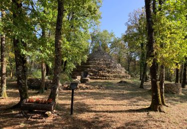
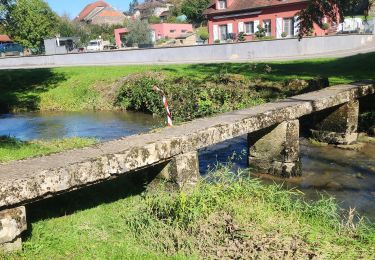
Trail Walking of 6.3 km to be discovered at Bourgogne-Franche-Comté, Haute-Saône, Comberjon. This trail is proposed by nicolasdresse.
Positioning
Country:
France
Region :
Bourgogne-Franche-Comté
Department/Province :
Haute-Saône
Municipality :
Comberjon
Location:
Unknown
Start:(Dec)
Start:(UTM)
289597 ; 5280078 (32T) N.
Comments
Trails nearby
colombier
Nordic walking
Very easy
Colombier,
Bourgogne-Franche-Comté,
Haute-Saône,
France
4h 31min
Yes
quincey marche
Walking
Very easy
(1)
Quincey,
Bourgogne-Franche-Comté,
Haute-Saône,
France
6.8 km | 8.4 km-effort
2h 6min
Yes
Sentier de la Tourefaine - Auxon
Mountain bike
Medium
Auxon,
Bourgogne-Franche-Comté,
Haute-Saône,
France
19.1 km | 24 km-effort
1h 30min
Yes
Pierre qui vire Madone Dampvaley
Walking
Villers-le-Sec,
Bourgogne-Franche-Comté,
Haute-Saône,
France
12.4 km | 15.4 km-effort
2h 44min
No
La Croix mercier
Walking
Medium
Noroy-le-Bourg,
Bourgogne-Franche-Comté,
Haute-Saône,
France
6.9 km | 8.6 km-effort
2h 12min
Yes
parcours des femmes de combats entre vesoul et NAVENNE
Walking
Easy
Vesoul,
Bourgogne-Franche-Comté,
Haute-Saône,
France
8.8 km | 10.6 km-effort
2h 25min
Yes
Colombe-damplavey-thumulus-colombe
Walking
Difficult
Colombe-lès-Vesoul,
Bourgogne-Franche-Comté,
Haute-Saône,
France
10.1 km | 13 km-effort
3h 7min
No
Espérant Colombe les Vesoul
Walking
Medium
Villers-le-Sec,
Bourgogne-Franche-Comté,
Haute-Saône,
France
7.2 km | 8.6 km-effort
2h 36min
No
NAV en DA20 LFQW-LFQM-LFEV-LFQW
Plane
Very easy
Comberjon,
Bourgogne-Franche-Comté,
Haute-Saône,
France
146 km | 197 km-effort
Unknown
No