Trail Other activity Unknown - col bidara - Photo
 manue38
manue38

User

© OpenStreetMap contributors
Length
Length
4.3 km
Max alt
Max alt
2953 m
Uphill gradient
Uphill gradient
843 m
Km-Effort
Km-Effort  
12.8 km
Min alt
Min alt
2104 m
Downhill gradient
Downhill gradient
3 m
Boucle
Boucle
No
Creation date :
2018-04-17 21:06:57.906
Updated on :
2018-04-17 21:06:57.906

(0 Reviews)

Other activity
Other activity
2h37
Difficulty : Unknown

Scan this QR Code to open this trail in the SityTrail application

FREE GPS app for hiking

Logo SityTrail SityTrail

IGN / Geographical institutes

Download SityTrail from the App Store Download SityTrail from Google Play

Logo SityTrail SityTrail World

The world is yours!

Download SityTrail from the App Store Download SityTrail from Google Play Download SityTrail on Huawei AppGallery

About

Trail Other activity of 4.3 km to be discovered at Mtskheta-Mtianeti, Kazbegi Municipality. This trail is proposed by manue38.

Elevation profile

Positioning

Country:
Georgia
Region :
Mtskheta-Mtianeti
Department/Province :
Kazbegi Municipality
Municipality :
Unknown
Location:
Unknown
Start:(UTM)
458207 ; 4710178 (38T) N.

Trails nearby

Trail Other activity  - col bidara - Photo
Other activity
manue38

Other activity

Very easy
, Mtskheta-Mtianeti, Kazbegi Municipality, Georgia
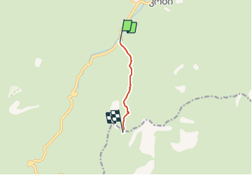
4.3 km | 12.8 km-effort
2h 37min
No


Close
My subscriptions