


37 km | 47 km-effort


User


FREE GPS app for hiking
 SityTrail
IGN / Geographical institutes
SityTrail World
The world is yours!
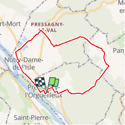
Trail Walking of 14.2 km to be discovered at Normandy, Eure, Pressagny-l'Orgueilleux. This trail is proposed by douneto.
Rando Novembre 2013
Attention période chasse dans Bois du château goujon le lundi, Jeudi et Dimanche !!!(une partie du chemin balisé est privé)

Walking

Walking
Walking

Walking

Mountain bike

Walking

Walking
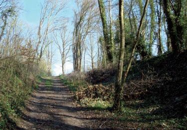
Walking

Mountain bike