


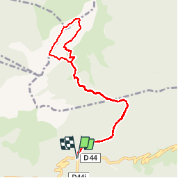


12.1 km | 23 km-effort

User


FREE GPS app for hiking
 SityTrail
IGN / Geographical institutes
SityTrail World
The world is yours!
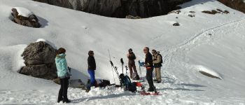
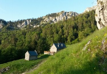
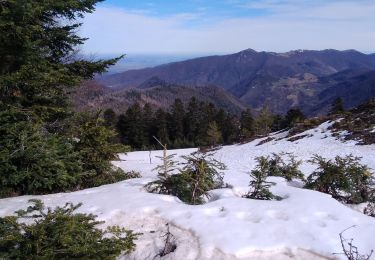
Trail Snowshoes of 10.5 km to be discovered at Occitania, Haute-Garonne, Boutx. This trail is proposed by Polo-31.
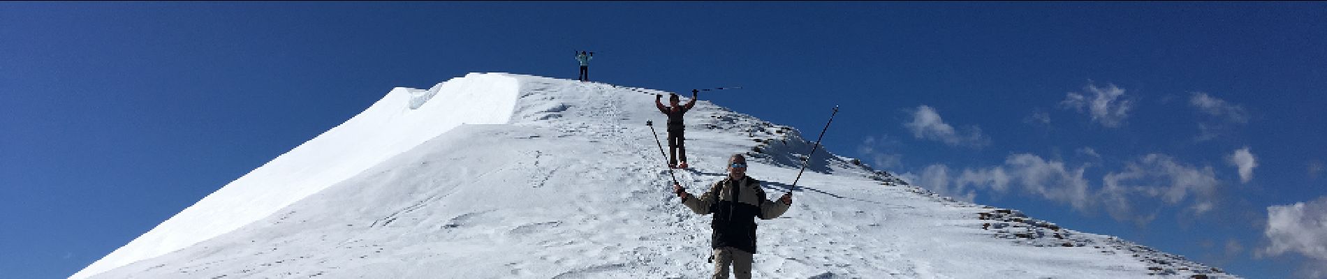
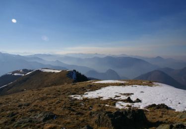
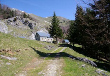
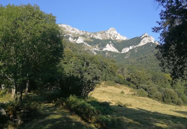
Depuis le Col de Menté, rejoindre la cabane de Larreix (Facile), poursuivre vers le Col du Pas de L'Âne (Beaucoup plus raide) et prendre à droite la Crête jusqu'à Pique-Poque (Crampons conseillés si neige dure). Le retour est effectué en boucle en descendant vers le col direction Cagire. Prévoir 45' de plus pour 1 A/R au Cagire. Descendre plein sud vers le col de Coume Ossan puis effectuer une traversée sous pique-poque plus ou moins haute en fonction des conditions d'enneigement en direction de la Cabane de Larreix. Retour facile par le chemin de l'aller.


Walking
Walking
Walking
Walking
Walking
Walking
Walking
Walking
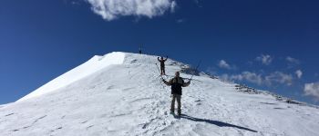
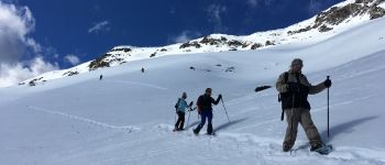
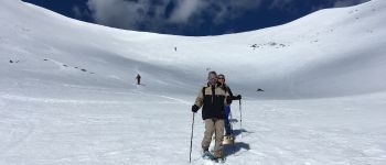
Snowshoes