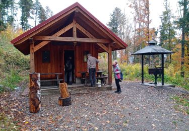
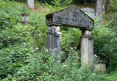
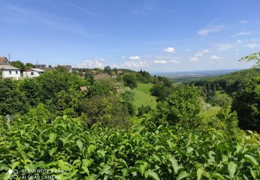
22 km | 27 km-effort
Michelbach - Bourbach le Bas (23-02-2018)
Richard68500
User
Length
17.8 km
Max alt
473 m
Uphill gradient
380 m
Km-Effort
23 km
Min alt
307 m
Downhill gradient
380 m
Boucle
Yes
Creation date :
2018-04-17 19:42:43.927
Updated on :
2018-04-17 19:42:43.927
3h58
Difficulty : Easy
FREE GPS app for hiking
About
Trail Walking of 17.8 km to be discovered at Grand Est, Haut-Rhin, Aspach-Michelbach. This trail is proposed by Richard68500.
Description
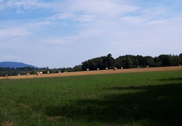
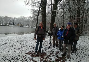
Belle balade avec un vent glacial.. excellent plat du jour (17€ all inclusive) à la Couronne d'Or à Bourbach le Bas
Positioning
Country:
France
Region :
Grand Est
Department/Province :
Haut-Rhin
Municipality :
Aspach-Michelbach
Location:
Michelbach
Start:(Dec)
Start:(UTM)
359719 ; 5291402 (32T) N.
Comments
Trails nearby
Rando du 09/02/2024 par Alain...Pont d'Aspach
Walking
Very difficult
Burnhaupt-le-Haut,
Grand Est,
Haut-Rhin,
France
5h 12min
Yes
sentheim saegerkopf
Walking
Easy
(1)
Sentheim,
Grand Est,
Haut-Rhin,
France
11.6 km | 15.1 km-effort
3h 14min
Yes
Circuit de la Doller
Walking
Medium
Guewenheim,
Grand Est,
Haut-Rhin,
France
10.7 km | 12.2 km-effort
2h 24min
Yes
Lac de la Seigneurie (10/01/2019)
Walking
Easy
Le Haut-Soultzbach,
Grand Est,
Haut-Rhin,
France
16.3 km | 19.5 km-effort
4h 24min
Yes
Aspach le Haut (6/12/2018)
Walking
Medium
Aspach-Michelbach,
Grand Est,
Haut-Rhin,
France
15 km | 19.4 km-effort
3h 34min
Yes
Guewenheim. 68
Walking
Very easy
Guewenheim,
Grand Est,
Haut-Rhin,
France
13.1 km | 15 km-effort
3h 14min
No
Hundsrück (04/11/2021)
Walking
Medium
Rammersmatt,
Grand Est,
Haut-Rhin,
France
10.8 km | 17.8 km-effort
3h 14min
Yes
Grand ballon 2021
Electric bike
Thann,
Grand Est,
Haut-Rhin,
France
48 km | 67 km-effort
3h 31min
No
Roderen
Walking
Difficult
Roderen,
Grand Est,
Haut-Rhin,
France
9.5 km | 12.2 km-effort
2h 46min
Yes