


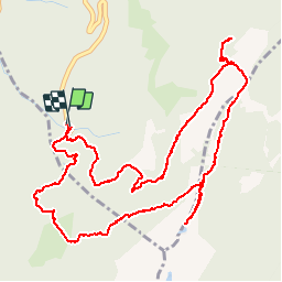

12.2 km | 28 km-effort

User


FREE GPS app for hiking
 SityTrail
IGN / Geographical institutes
SityTrail World
The world is yours!
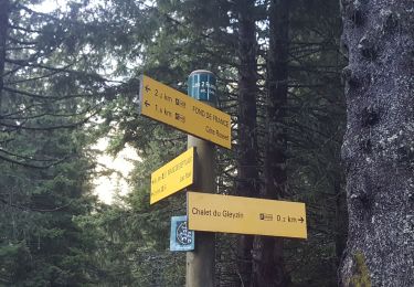
Trail Snowshoes of 6.6 km to be discovered at Auvergne-Rhône-Alpes, Isère, Crêts-en-Belledonne. This trail is proposed by Bogapuki.
19 février 2018
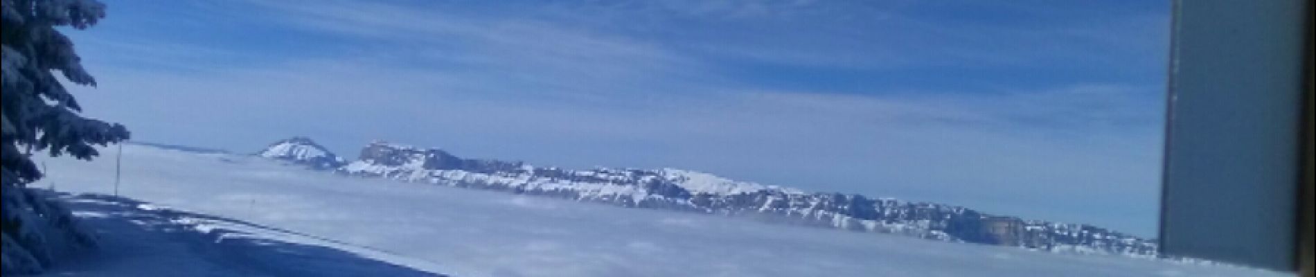
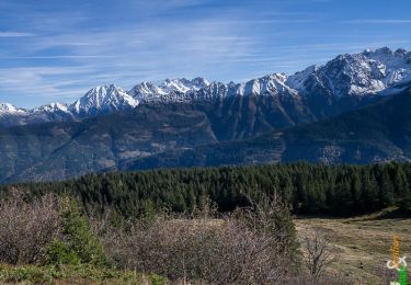
Brumeux en bas, magnifique soleil en montant et vue panoramique sur Belledonne, la Chartreuse et les Bauges.
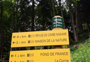
Balisage parfait.
Belvédère avec table d'orientation.


Walking
Walking

Mountain bike

Walking
Walking

Other activity

Winter sports

Walking
Walking