


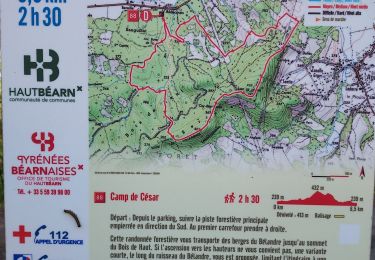
8.7 km | 12.4 km-effort


convivialite, sport et fiesta


FREE GPS app for hiking
 SityTrail
IGN / Geographical institutes
SityTrail World
The world is yours!
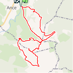
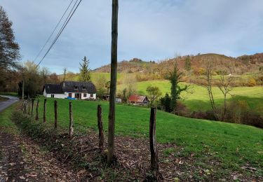
Trail Walking of 11.9 km to be discovered at New Aquitaine, Pyrénées-Atlantiques, Ance-Féas. This trail is proposed by Lous Passa camins.
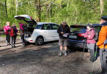
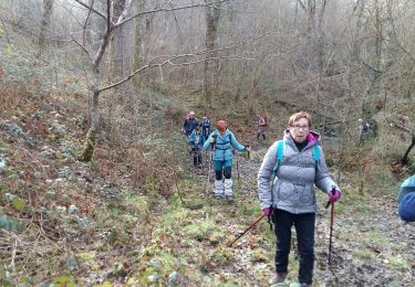
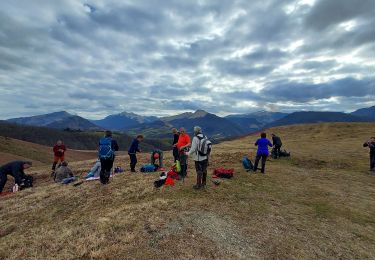
Belle balade mais le sentier au départ est un peu à l'abandon dommage
coordonées départ
N43° 08' 43.9"
W000° 41' 11.1"
Running
Walking
Walking
Walking
Walking

On foot
Walking

Walking

Walking