


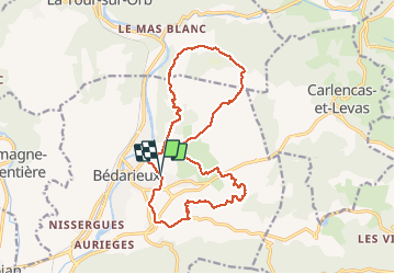

13 km | 18.6 km-effort


User


FREE GPS app for hiking
 SityTrail
IGN / Geographical institutes
SityTrail World
The world is yours!
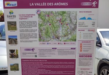
Trail Walking of 17.7 km to be discovered at Occitania, Hérault, Bédarieux. This trail is proposed by grageot.
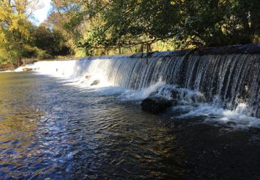
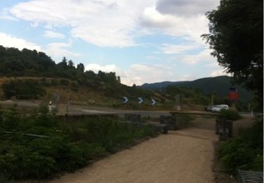
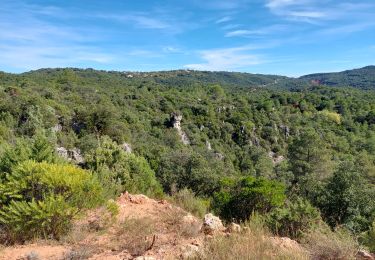
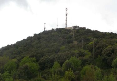
Fev 2018 - une ballade facile au pied et au dessus des falaises de Bédarieux.
Pas de difficulté topo, bien suivre le tracé et les chemins ou piste - pas de bartasse !
Walking
Cycle
Walking
Walking
Walking
Walking
Walking
Walking
Walking