


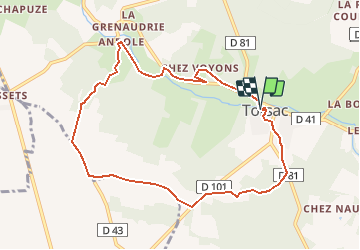

10.1 km | 11.9 km-effort


User


FREE GPS app for hiking
 SityTrail
IGN / Geographical institutes
SityTrail World
The world is yours!
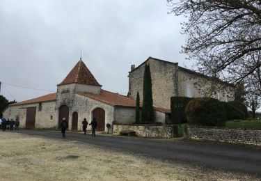
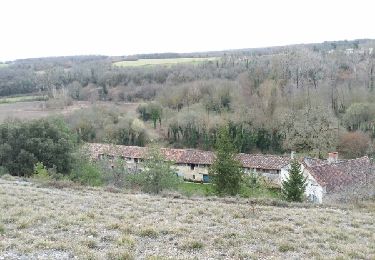
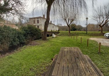
Trail Walking of 9.1 km to be discovered at New Aquitaine, Charente, Torsac. This trail is proposed by dorcier.
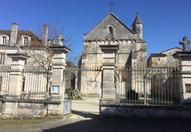
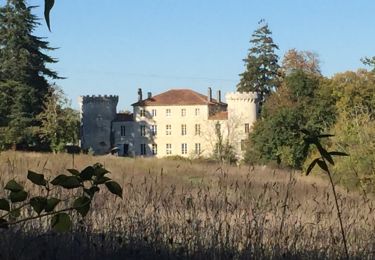
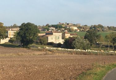
Points de vue sur la Charreau et sa vallée, l'église et le châteu de Torsac. Randonnées sur les rives de la Charreau avec de nombreux passages en forêt et près de quelques beaux logis et moulins (le randonneurs de l'Echelle)
Walking
Walking
Walking
Walking
Walking

Walking

Mountain bike