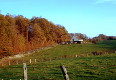
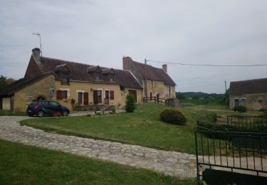
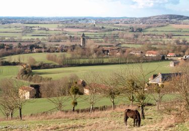
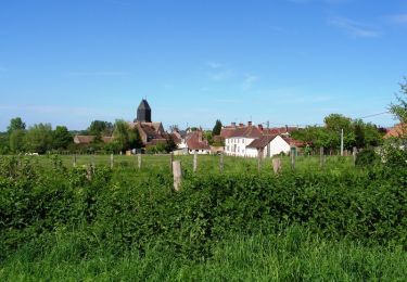
Trail Walking Val-au-Perche - Mâle Vallée de la Jambette 8.4 Km - Photo

Mâle Vallée de la Jambette 8.4 Km

 ODDAD78
ODDAD78

User

© OpenStreetMap contributors
Length
Length
8.4 km
Max alt
Max alt
191 m
Uphill gradient
Uphill gradient
175 m
Km-Effort
Km-Effort  
10.8 km
Min alt
Min alt
106 m
Downhill gradient
Downhill gradient
174 m
Boucle
Boucle
Yes
Creation date :
2019-04-13 16:33:42.488
Updated on :
2019-04-13 16:33:42.528

(0 Reviews)

Walking
Walking
2h48
Difficulty : Easy

Scan this QR Code to open this trail in the SityTrail application

FREE GPS app for hiking

Logo SityTrail SityTrail

IGN / Geographical institutes

Download SityTrail from the App Store Download SityTrail from Google Play

Logo SityTrail SityTrail World

The world is yours!

Download SityTrail from the App Store Download SityTrail from Google Play Download SityTrail on Huawei AppGallery

About

Trail Walking of 8.4 km to be discovered at Normandy, Orne, Val-au-Perche. This trail is proposed by ODDAD78.

Description

Départ Eglise de Mâle

Elevation profile

Positioning

Country:
France
Region :
Normandy
Department/Province :
Orne
Municipality :
Val-au-Perche
Location:
Unknown
Start:(UTM)
332152 ; 5348959 (31U) N.

Trails nearby

Trail Walking Val-au-Perche - Le Theil-sur-Huisne (Val-au-Perche)-Saint-Germain-de-la-Coudre - 7,4 Km - Photo
Walking

Walking

Medium
Val-au-Perche, Normandy, Orne, France
7.4 km | 9.6 km-effort
2h 3min
No
Trail Walking Avezé - avezé Sarthe  - Photo
Walking
werth

Walking

Easy
Avezé, Pays de la Loire, Sarthe, France
13.4 km | 15.9 km-effort
4h 17min
Yes
Trail Walking Val-au-Perche - Le Theil-sur-Huisne (Val-au-Perche) - Saint-Cyr-la-Rosière 11 km - Photo
Walking

Walking

Easy
Val-au-Perche, Normandy, Orne, France
11.2 km | 13.6 km-effort
2h 52min
No
Trail Walking Avezé - Avezé - Au coeur du bocage percheron - Photo
Walking
tracegps

Walking

Medium
Avezé, Pays de la Loire, Sarthe, France
14.6 km | 17.7 km-effort
3h 30min
Yes
Trail Walking Avezé - Les bois de Beauvais - Photo
Walking
darkpapa

Walking

Easy
Avezé, Pays de la Loire, Sarthe, France
11.2 km | 14.6 km-effort
3h 19min
Yes
Trail Walking Saint-Hilaire-sur-Erre - SityTrail - Saint-Hilaire sur Erre 8,4 km - Photo
Walking
ODDAD78

Walking

Medium
Saint-Hilaire-sur-Erre, Normandy, Orne, France
8.1 km | 9.5 km-effort
2h 9min
Yes
Trail Walking Val-au-Perche - TCP Etape Tour complet - Photo
Walking
ODDAD78

Walking

Easy
Val-au-Perche, Normandy, Orne, France
2657 km | 2707 km-effort
7h 16min
No
Trail Walking Val-au-Perche - Le Theils sur Huisnes 13.4 Km - Photo
Walking
ODDAD78

Walking

Medium
Val-au-Perche, Normandy, Orne, France
13.4 km | 16.2 km-effort
3h 32min
Yes
Trail Walking Saint-Hilaire-sur-Erre - Saint Hilaire sur Erre 7,8 Km - Photo
Walking
ODDAD78

Walking

Easy
Saint-Hilaire-sur-Erre, Normandy, Orne, France
7.8 km | 9.4 km-effort
2h 2min
Yes


Close
My subscriptions