


5.5 km | 10.3 km-effort

Les Hautes Alpes à découvrir ! GUIDE+


FREE GPS app for hiking
 SityTrail
IGN / Geographical institutes
SityTrail World
The world is yours!
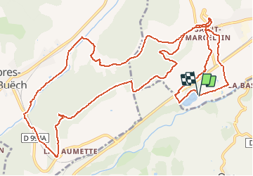
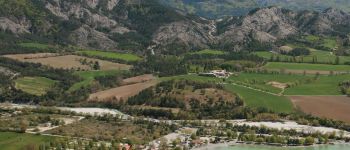
Trail Mountain bike of 17.3 km to be discovered at Provence-Alpes-Côte d'Azur, Hautes-Alpes, Veynes. This trail is proposed by Camping Les Rives du Lac.
Do you like to ride a mountain bike on wide roads that do not require technical skills? Here is a nice circuit of 20kms that connects Veynes to the village of Aspres. Beautiful views, possible stops along the river …


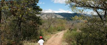
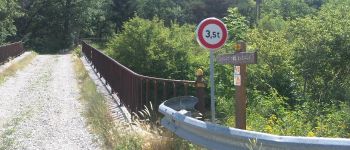
Walking

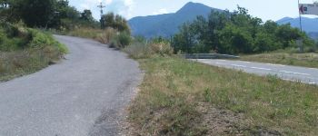
Mountain bike

Mountain bike

Mountain bike

Mountain bike

Mountain bike

Walking

Walking

Walking