


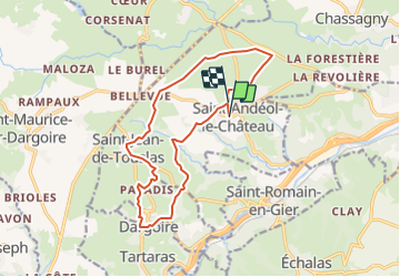

7.3 km | 9.5 km-effort


User


FREE GPS app for hiking
 SityTrail
IGN / Geographical institutes
SityTrail World
The world is yours!
Trail Walking of 14.7 km to be discovered at Auvergne-Rhône-Alpes, Rhône, Beauvallon. This trail is proposed by d.rognon.
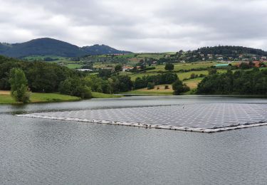
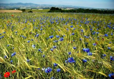
Randonnée en grande majorité sur des chemins non goudronnés.
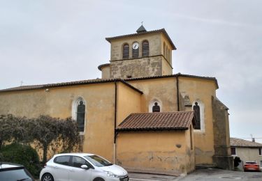
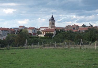
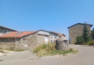
Jolies maisons avec pierres de tailles sur le parcours.
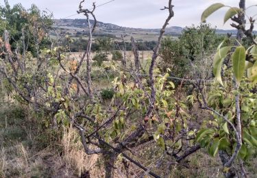
Randonnée faite le 22 mars 2022 sous un soleil printanier généreux.
Walking

Walking

Walking
Walking
Walking
Walking
Walking
Walking

sport