


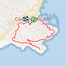

9.1 km | 13.2 km-effort


User


FREE GPS app for hiking
 SityTrail
IGN / Geographical institutes
SityTrail World
The world is yours!
Trail Walking of 4.1 km to be discovered at Provence-Alpes-Côte d'Azur, Var, Cavalaire-sur-Mer. This trail is proposed by toporient.
Départ et retour: parking du complexe sportif Henry Gros (accès par l'Avenue Charles de Gaulle).
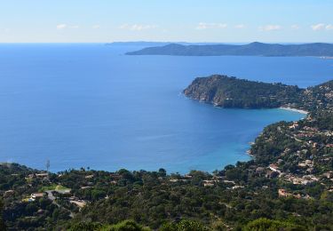
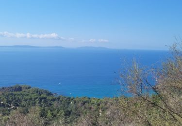
Vue au sud sur les Îles, du Levant, Port Cros et Porquerolles.

Walking

Walking
Walking
Walking
Walking
Walking
Walking
Walking
Walking