


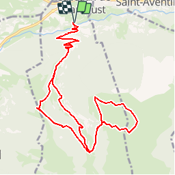

11 km | 16.7 km-effort


User


FREE GPS app for hiking
 SityTrail
IGN / Geographical institutes
SityTrail World
The world is yours!
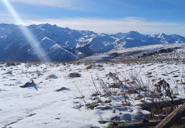
Trail Snowshoes of 13.7 km to be discovered at Occitania, Haute-Garonne, Cazeaux-de-Larboust. This trail is proposed by Rouzier.
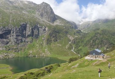
Moulin Paduran;granges de Labach;cabanes de Salit,Cap de Pouy,cabane de Turon; col de la Coume

Mountain bike
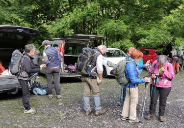
Walking

Walking

Walking
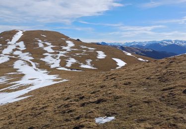
Walking
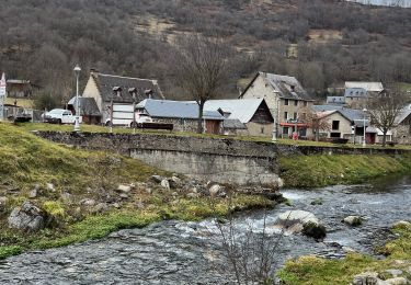
Walking
Walking
Walking
Walking