


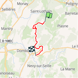

16.9 km | 24 km-effort


User


FREE GPS app for hiking
 SityTrail
IGN / Geographical institutes
SityTrail World
The world is yours!
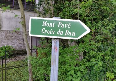
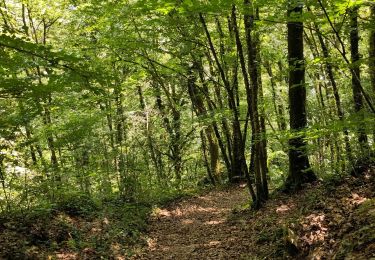
Trail Walking of 12.1 km to be discovered at Bourgogne-Franche-Comté, Jura, Saint-Lothain. This trail is proposed by bernard54.
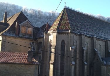
Échappée Jurassienne Etape 4 St Lothain - Château Chalon Chambre d'hôte et Gîte T'nature 1 rue de l'église 39210 Château Chalon 06 30 53 30 82

Walking
Walking
Walking
Walking
Walking

Walking
Walking
Walking