


9.3 km | 11.8 km-effort

User


FREE GPS app for hiking
 SityTrail
IGN / Geographical institutes
SityTrail World
The world is yours!
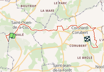
Trail Walking of 13.6 km to be discovered at Normandy, Orne, Saint-Martin-du-Vieux-Bellême. This trail is proposed by ODDAD78.
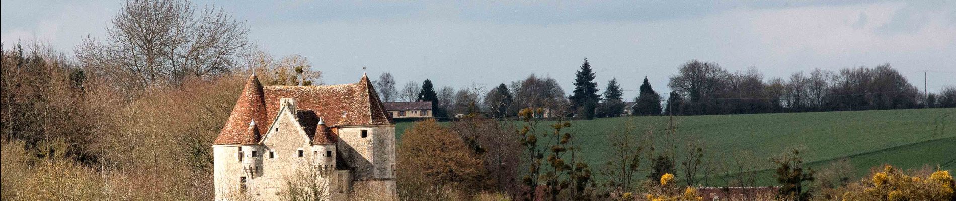
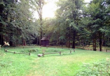
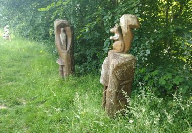
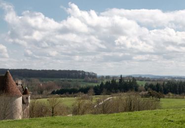
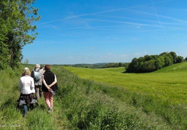
Une rando permettant de relier le très beau massif de la Forêt de Bellême au parc de la Maison du Parc Naturel Régional du Perche.
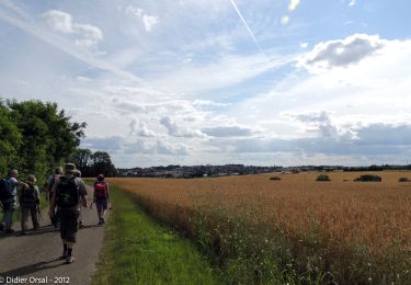
Un peu de route parfois, mais compensé par de très beaux points de vue sur le bocage percheron.

Walking
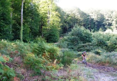
Mountain bike
Walking
On foot
Electric bike
Walking

Walking
Walking
Walking