


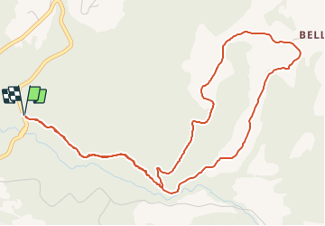


4.6 km | 7 km-effort


User


FREE GPS app for hiking
 SityTrail
IGN / Geographical institutes
SityTrail World
The world is yours!
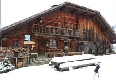
Trail Snowshoes of 6.3 km to be discovered at Fribourg, District de la Veveyse, Châtel-Saint-Denis. This trail is proposed by mbila.
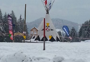
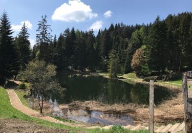
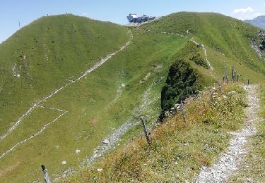
UN PARCOURS BUCOLIQUE, AU PIED DE TEYSACHAUX ET DE LA DENT DE LYS. D’EXCELLENTS PRODUITS DU TERROIR VOUS ATTENDENT À LA BUVETTE, SI VOS PAPILLES VOUS TITILLENT. POUR LES AVENTURIERS, UNE DESCENTE PLEINE D’ADRÉNALINE EN BONUS !
Snowshoes

Snowshoes
Walking

Walking
Walking
Snowshoes

Mountain bike

Walking
Walking