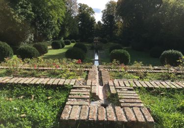
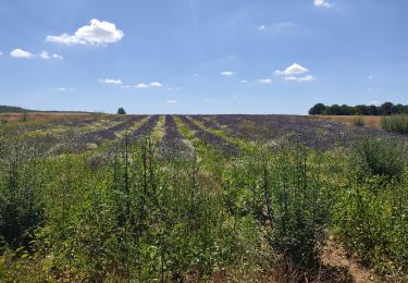
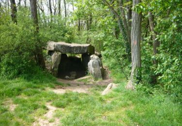
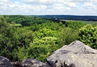
18.3 km | 22 km-effort
2018-01-10 Rando Saint Vrain
jchezlemas
User
Length
11.6 km
Max alt
87 m
Uphill gradient
99 m
Km-Effort
13 km
Min alt
58 m
Downhill gradient
100 m
Boucle
Yes
Creation date :
2018-04-17 15:50:33.287
Updated on :
2018-04-17 15:50:33.287
2h50
Difficulty : Easy
FREE GPS app for hiking
About
Trail Walking of 11.6 km to be discovered at Ile-de-France, Essonne, Saint-Vrain. This trail is proposed by jchezlemas.
Description
Rando de Martine et Alain Gauthier
Office de Tourisme de l'Arpajonnais
http://ot-arpajonnais.fr/
Positioning
Country:
France
Region :
Ile-de-France
Department/Province :
Essonne
Municipality :
Saint-Vrain
Location:
Unknown
Start:(Dec)
Start:(UTM)
449791 ; 5376341 (31U) N.
Comments
Trails nearby
Marolles Lardy Bouray St Vrain
Walking
Medium
(1)
Marolles-en-Hurepoix,
Ile-de-France,
Essonne,
France
19.3 km | 23 km-effort
5h 10min
Yes
Les vieilles ailes
Walking
Easy
(1)
Itteville,
Ile-de-France,
Essonne,
France
16.8 km | 19.2 km-effort
3h 37min
Yes
Autour de Lardy par la Pierre levée de Janville sur Juine
Walking
Difficult
(1)
Lardy,
Ile-de-France,
Essonne,
France
24 km | 29 km-effort
4h 49min
Yes
Autour de Lardy en VTT
Mountain bike
Medium
(1)
Lardy,
Ile-de-France,
Essonne,
France
31 km | 38 km-effort
2h 4min
Yes
Rando Ballancourt 15 km BM
Walking
Difficult
(1)
Ballancourt-sur-Essonne,
Ile-de-France,
Essonne,
France
14.8 km | 16.9 km-effort
3h 50min
Yes
Boucle Lardy par Pascale
On foot
Easy
Lardy,
Ile-de-France,
Essonne,
France
20 km | 25 km-effort
5h 36min
Yes
Boucle autour de Ballancourt
Walking
Medium
Ballancourt-sur-Essonne,
Ile-de-France,
Essonne,
France
21 km | 25 km-effort
4h 47min
Yes
SityTrail - 3212203 - itteville
On foot
Difficult
Itteville,
Ile-de-France,
Essonne,
France
28 km | 33 km-effort
7h 32min
Yes