


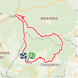

9.6 km | 13.7 km-effort


User


FREE GPS app for hiking
 SityTrail
IGN / Geographical institutes
SityTrail World
The world is yours!
Trail Walking of 17.8 km to be discovered at Occitania, Hérault, Dio-et-Valquières. This trail is proposed by grageot.
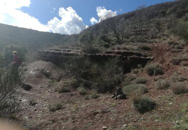
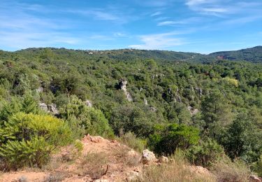
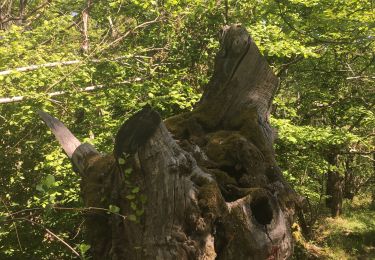
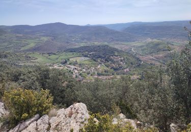
Beaux panoramas depuis la crête. La descente dans le thalweg après l'éolienne est difficile, chemins incertain ou encombré de coupe d'arbres (jan 2018).
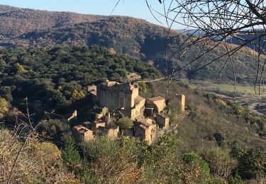
Avant d'arriver au hameau "Les Pascals, prendre un chemin peu visible à droite juste avant une barrière métallique.
Walking
Walking

Walking
Walking
Walking
Walking
Walking
Walking