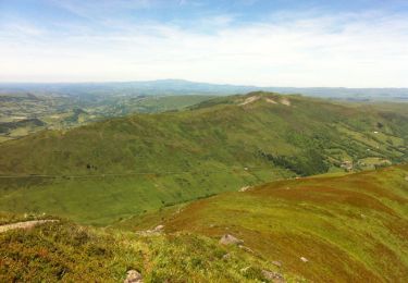
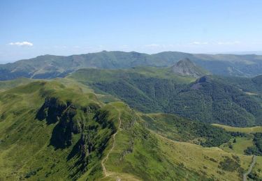
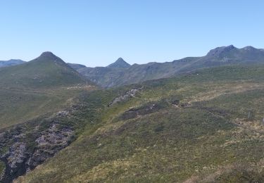
18.8 km | 28 km-effort
Eylac - Cabrespine
fred84b
User
Length
9.3 km
Max alt
1729 m
Uphill gradient
464 m
Km-Effort
15.7 km
Min alt
1363 m
Downhill gradient
519 m
Boucle
No
Creation date :
2018-04-17 15:05:56.465
Updated on :
2018-04-17 15:05:56.465
3h20
Difficulty : Unknown
FREE GPS app for hiking
About
Trail Other activity of 9.3 km to be discovered at Auvergne-Rhône-Alpes, Cantal, Lavigerie. This trail is proposed by fred84b.
Positioning
Country:
France
Region :
Auvergne-Rhône-Alpes
Department/Province :
Cantal
Municipality :
Lavigerie
Location:
Unknown
Start:(Dec)
Start:(UTM)
475340 ; 4995492 (31T) N.
Comments
Trails nearby
Franconèche- Gr400-chemin des Italiens bis
Walking
Very difficult
(1)
Le Falgoux,
Auvergne-Rhône-Alpes,
Cantal,
France
6h 46min
Yes
Le Puy de Peyre Arse depuis la Gravière
Walking
Difficult
(2)
Lavigerie,
Auvergne-Rhône-Alpes,
Cantal,
France
11.2 km | 21 km-effort
4h 0min
Yes
Les crêtes du Cantal - Le Lioran
Walking
Difficult
(4)
Laveissière,
Auvergne-Rhône-Alpes,
Cantal,
France
28 km | 51 km-effort
7h 30min
Yes
L'Elancèze
Walking
Difficult
(1)
Mandailles-Saint-Julien,
Auvergne-Rhône-Alpes,
Cantal,
France
12.8 km | 24 km-effort
5h 0min
Yes
le Peyre Arse - Le Lioran
Walking
Difficult
(1)
Laveissière,
Auvergne-Rhône-Alpes,
Cantal,
France
11.2 km | 19.4 km-effort
4h 0min
No
Lioran 2023-08-18 Col de Rombière Col du Pertus A/R
Walking
Easy
(1)
Laveissière,
Auvergne-Rhône-Alpes,
Cantal,
France
12.5 km | 18.8 km-effort
4h 14min
Yes
Lioran 2023-08-11 Col du Pertus
Walking
Medium
(1)
Laveissière,
Auvergne-Rhône-Alpes,
Cantal,
France
17.3 km | 25 km-effort
2h 57min
Yes
Lioran 2023-08-09 Puy de Seycheuse
Walking
Very difficult
(1)
Laveissière,
Auvergne-Rhône-Alpes,
Cantal,
France
13.9 km | 23 km-effort
5h 20min
Yes
Puy de Peyre Arse/ Puy Bataillouse / Téton de Vénus et Rocher du bec de l'aigle
Trail
Medium
Laveissière,
Auvergne-Rhône-Alpes,
Cantal,
France
12.8 km | 25 km-effort
3h 4min
Yes