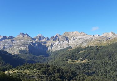
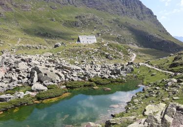
10.4 km | 19.6 km-effort
64_urdos_lac_estaens
jab31
User
Length
11.7 km
Max alt
1805 m
Uphill gradient
613 m
Km-Effort
20 km
Min alt
1317 m
Downhill gradient
666 m
Boucle
Yes
Creation date :
2018-04-17 14:50:24.59
Updated on :
2024-12-25 10:26:49.827
--
Difficulty : Difficult
FREE GPS app for hiking
About
Trail Walking of 11.7 km to be discovered at New Aquitaine, Pyrénées-Atlantiques, Urdos. This trail is proposed by jab31.
Description
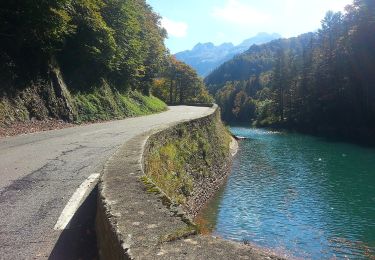
du parking de Sansanet au lac d'estaens par échelles
Positioning
Country:
France
Region :
New Aquitaine
Department/Province :
Pyrénées-Atlantiques
Municipality :
Urdos
Location:
Unknown
Start:(Dec)
Start:(UTM)
699954 ; 4741030 (30T) N.
Comments
Trails nearby
Sentier de Peyranère au Refuge de Larry PNP
On foot
Easy
Urdos,
New Aquitaine,
Pyrénées-Atlantiques,
France
4h 27min
No
Sentier du Plateau de la Gentiane PNP
On foot
Easy
Urdos,
New Aquitaine,
Pyrénées-Atlantiques,
France
3.6 km | 7.3 km-effort
1h 39min
No
Sentier du Lac d'Estaëns PNP
On foot
Easy
Urdos,
New Aquitaine,
Pyrénées-Atlantiques,
France
5.1 km | 10.1 km-effort
2h 17min
No
Boucle Lescun 4J - E4
Walking
Very easy
(1)
Borce,
New Aquitaine,
Pyrénées-Atlantiques,
France
18 km | 27 km-effort
4h 59min
No
Chemin de l'escalé
Walking
Medium
Borce,
New Aquitaine,
Pyrénées-Atlantiques,
France
7.9 km | 12.6 km-effort
2h 52min
Yes
Lac d'Estaens
Walking
Difficult
Borce,
New Aquitaine,
Pyrénées-Atlantiques,
France
10.2 km | 18.3 km-effort
4h 10min
Yes
Plateau de la gentiane
Walking
Medium
Urdos,
New Aquitaine,
Pyrénées-Atlantiques,
France
7.7 km | 13.2 km-effort
3h 18min
Yes
Astun au refuge d'Ayous
Walking
Difficult
Jaca,
Aragon,
Huesca,
Spain
16.1 km | 29 km-effort
7h 29min
Yes
Lac d'Estaens et environs
Walking
Difficult
Urdos,
New Aquitaine,
Pyrénées-Atlantiques,
France
14.9 km | 26 km-effort
7h 42min
Yes