


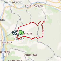

14.2 km | 23 km-effort


User GUIDE


FREE GPS app for hiking
 SityTrail
IGN / Geographical institutes
SityTrail World
The world is yours!
Trail Walking of 10.9 km to be discovered at Auvergne-Rhône-Alpes, Drôme, Barsac. This trail is proposed by randodyssée.
07.12.2017
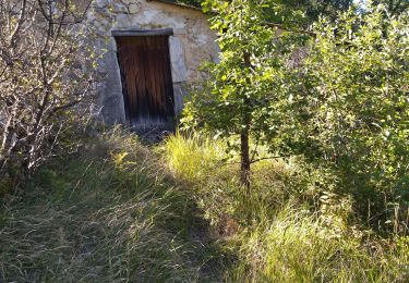
jo gene rene char
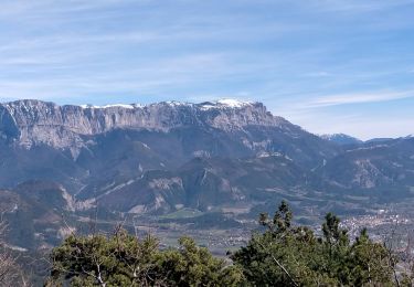
neige et soleil froid
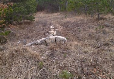
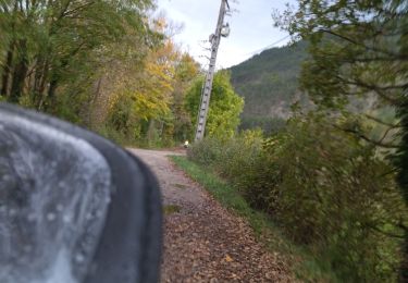
hors sentier grand ranc reste en dessous de la falaise
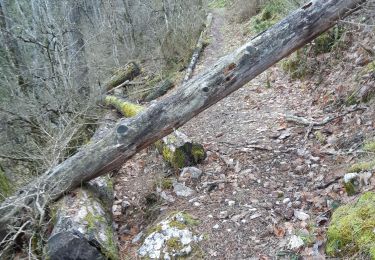
entre point 971 et 591 hors sentier praticable

Walking

Nordic walking

Walking
Walking
Walking
Walking
Walking
Road bike
Walking