


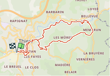


11 km | 16.1 km-effort


User GUIDE


FREE GPS app for hiking
 SityTrail
IGN / Geographical institutes
SityTrail World
The world is yours!
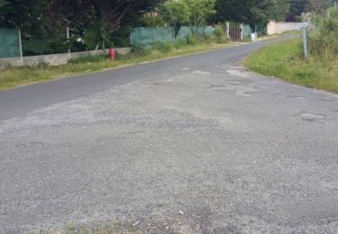
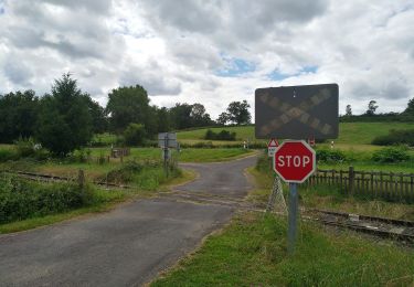
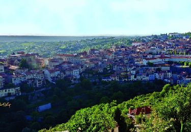
Trail Walking of 11.4 km to be discovered at Auvergne-Rhône-Alpes, Puy-de-Dôme, Thiers. This trail is proposed by jagarnier.
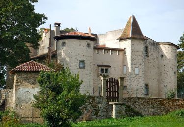
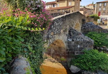
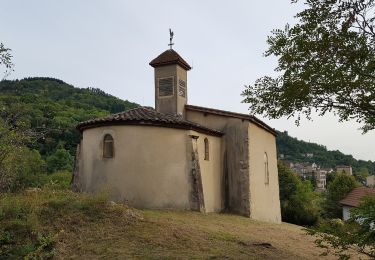
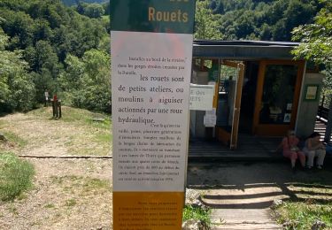
Cette randonné constitue un véritable voyage dans l'histoire de l'activité coutelière thiernoise. Elle remonte la "vallée des usines" témoignage émouvant de l'age d'or de l’activité coutelière.

Walking
Walking

On foot
On foot
On foot
On foot
On foot
Walking
Walking