28 km | 33 km-effort
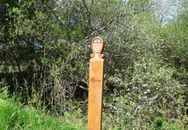
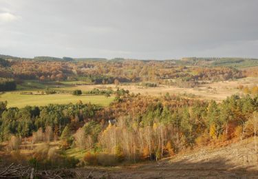
GR46-03 - Faux la Montagne - La Villeneuve
Tournan
User
Length
18.6 km
Max alt
699 m
Uphill gradient
393 m
Km-Effort
24 km
Min alt
518 m
Downhill gradient
539 m
Boucle
No
Creation date :
2018-04-17 13:52:05.787
Updated on :
2018-04-17 13:52:05.787
5h05
Difficulty : Medium
FREE GPS app for hiking
About
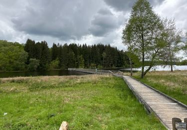
Trail Walking of 18.6 km to be discovered at New Aquitaine, Creuse, Faux-la-Montagne. This trail is proposed by Tournan.
Positioning
Country:
France
Region :
New Aquitaine
Department/Province :
Creuse
Municipality :
Faux-la-Montagne
Location:
Unknown
Start:(Dec)
Start:(UTM)
417130 ; 5068692 (31T) N.
Comments
Trails nearby
Boucle du Lac de Vassivière
Walking
Medium
Royère-de-Vassivière,
New Aquitaine,
Creuse,
France
4h 36min
Yes
Tour du lac de Vassiviere
sport
Very easy
Faux-la-Montagne,
New Aquitaine,
Creuse,
France
31 km | 38 km-effort
Unknown
Yes
Gentilhomme pigerolles
Walking
Gentioux-Pigerolles,
New Aquitaine,
Creuse,
France
12.8 km | 17.2 km-effort
4h 1min
Yes
faux et le lac
Walking
Medium
Faux-la-Montagne,
New Aquitaine,
Creuse,
France
15.2 km | 19 km-effort
4h 6min
Yes
Circuit au Nord Est de Gentioux-Pigerolles
Mountain bike
Medium
Gentioux-Pigerolles,
New Aquitaine,
Creuse,
France
17 km | 22 km-effort
2h 0min
Yes
Circuit au Nord Est de Gentioux-Pigerolles
Walking
Medium
Gentioux-Pigerolles,
New Aquitaine,
Creuse,
France
17 km | 22 km-effort
6h 0min
Yes
Lac de Vassivière - Vauveix
Mountain bike
Difficult
Royère-de-Vassivière,
New Aquitaine,
Creuse,
France
35 km | 44 km-effort
3h 30min
No
Le lac de Vassivière - Faux - Gentioux
Mountain bike
Difficult
Royère-de-Vassivière,
New Aquitaine,
Creuse,
France
56 km | 70 km-effort
5h 0min
Yes
Faux la montagne - Le Chammet
Walking
Medium
Faux-la-Montagne,
New Aquitaine,
Creuse,
France
15.8 km | 19.6 km-effort
4h 8min
Yes