


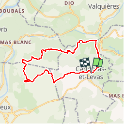

8.5 km | 12 km-effort


User


FREE GPS app for hiking
 SityTrail
IGN / Geographical institutes
SityTrail World
The world is yours!
Trail Walking of 16.6 km to be discovered at Occitania, Hérault, Carlencas-et-Levas. This trail is proposed by grageot.
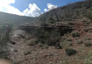
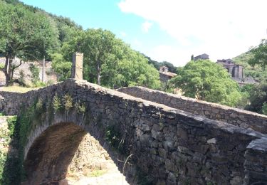
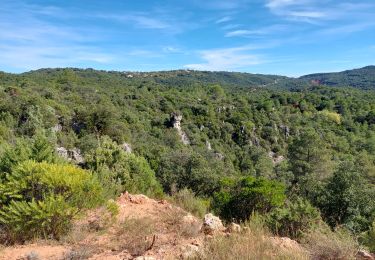
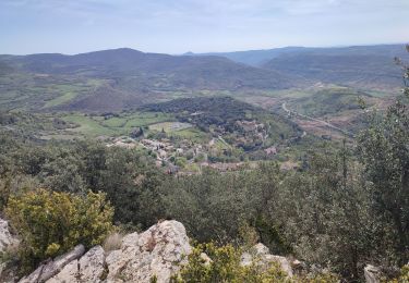
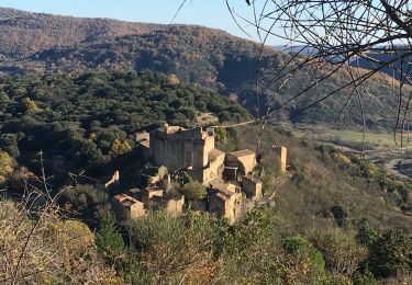
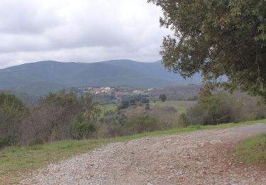
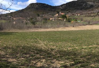
Jolie balade dans les collines surplombant Bédarieux. Une variété permanente géologique, tous les terrains de l'Hérault y son représentés.Bien suivre l'itinéraire, il y a des sentiers et pistes, non reportés sur la carte, un peu partout.
Walking
Walking
Walking
Walking

On foot
Walking
Walking

Nordic walking
Walking