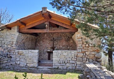
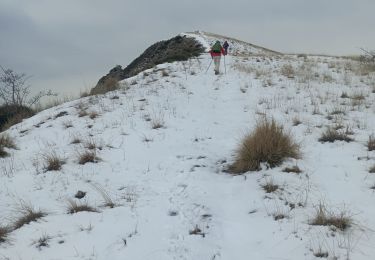
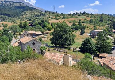
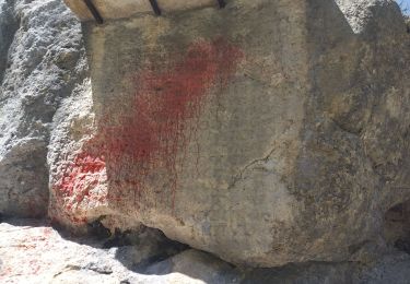
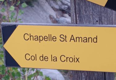
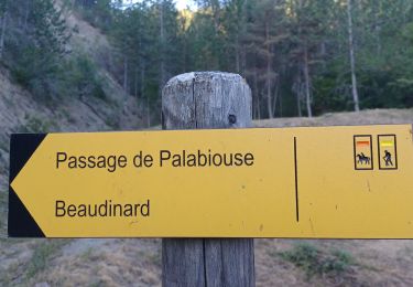
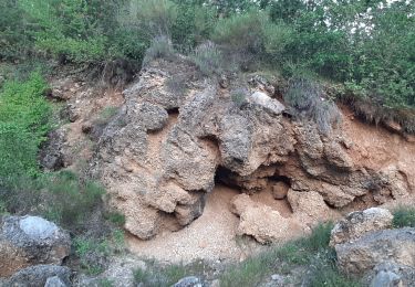
Trail Walking Valavoire - crete de Jouere  Valavoire - Photo
 BLANCHET
BLANCHET

User

© OpenStreetMap contributors
Length
Length
13.9 km
Max alt
Max alt
1863 m
Uphill gradient
Uphill gradient
786 m
Km-Effort
Km-Effort  
24 km
Min alt
Min alt
1134 m
Downhill gradient
Downhill gradient
783 m
Boucle
Boucle
Yes
Creation date :
2018-04-17 13:40:08.164
Updated on :
2018-04-17 13:40:08.164

(0 Reviews)

Walking
Walking
6h12
Difficulty : Medium

Scan this QR Code to open this trail in the SityTrail application

FREE GPS app for hiking

Logo SityTrail SityTrail

IGN / Geographical institutes

Download SityTrail from the App Store Download SityTrail from Google Play

Logo SityTrail SityTrail World

The world is yours!

Download SityTrail from the App Store Download SityTrail from Google Play Download SityTrail on Huawei AppGallery

About

Trail Walking of 13.9 km to be discovered at Provence-Alpes-Côte d'Azur, Alpes-de-Haute-Provence, Valavoire. This trail is proposed by BLANCHET.

Elevation profile

Positioning

Country:
France
Region :
Provence-Alpes-Côte d'Azur
Department/Province :
Alpes-de-Haute-Provence
Municipality :
Valavoire
Location:
Unknown
Start:(UTM)
265951 ; 4907090 (32T) N.

Comments

Please log in to post a review or rate the element


Bonjour, Nous avions prévu de faire cette rando (pour changer et profiter de la crête depuis son début) mais en sens inverse. Bien nous en a pris car après avoir quitté le chemin menant au Château de la Mole, nous sommes arrivés au dessus d'un ravin, avec des pentes en terre, effondrées que nous n'avons pu franchir. D'où retour sur le chemin du Château de la Mole et la rando classique. Y a-t-il eu un effondrement du terrain ou ai-je manqué quelque chose ? Si quelqu'un a une réponse ...


Trails nearby

Trail Walking Clamensane - Clamensane - Col de la Croix - Chapelle St-Amand - Photo
Walking
GUIDE
Marco05

Walking

Medium
(1)
Clamensane, Provence-Alpes-Côte d'Azur, Alpes-de-Haute-Provence, France
12.7 km | 22 km-effort
5h 0min
Yes
Trail Walking Saint-Geniez - Le Trainon - Photo
Walking
GUIDE
Marco05

Walking

Medium
(1)
Saint-Geniez, Provence-Alpes-Côte d'Azur, Alpes-de-Haute-Provence, France
9.8 km | 17.3 km-effort
3h 56min
Yes
Trail Walking Valavoire - Sommet de Jouère - Photo
Walking
GUIDE
Marco05

Walking

Difficult
Valavoire, Provence-Alpes-Côte d'Azur, Alpes-de-Haute-Provence, France
10.9 km | 21 km-effort
4h 39min
Yes
Trail Walking Authon - AUTHON. GROTTE. COL DE L AIGUILLE O L - Photo
Walking
GUIDE
RobinMicheline

Walking

Difficult
Authon, Provence-Alpes-Côte d'Azur, Alpes-de-Haute-Provence, France
12.1 km | 20 km-effort
3h 46min
No
Trail Walking Saint-Geniez - Pierre écrite et montagne de Gache - Photo
Walking
GUIDE
nadd73

Walking

Easy
Saint-Geniez, Provence-Alpes-Côte d'Azur, Alpes-de-Haute-Provence, France
7.4 km | 12.3 km-effort
2h 38min
Yes
Trail Walking Clamensane - CLAMENSANE.  TROU DU DIABLR  . CHAPELLE S AMAND . COL LA CROIX . O L M S. IX  - Photo
Walking
GUIDE
RobinMicheline

Walking

Difficult
Clamensane, Provence-Alpes-Côte d'Azur, Alpes-de-Haute-Provence, France
12.5 km | 21 km-effort
3h 27min
Yes
Trail Walking Clamensane - VALAVOIRE  Pas de Palabiouse , bergerie de Premarche o l s  - Photo
Walking
GUIDE
RobinMicheline

Walking

Difficult
Clamensane, Provence-Alpes-Côte d'Azur, Alpes-de-Haute-Provence, France
11.7 km | 22 km-effort
3h 53min
Yes
Trail Walking Clamensane - VALAVOIRE.  Pas de Palabrouse.  Fontaine de  Pouille o l s - Photo
Walking
GUIDE
RobinMicheline

Walking

Medium
Clamensane, Provence-Alpes-Côte d'Azur, Alpes-de-Haute-Provence, France
11.9 km | 19.8 km-effort
3h 50min
Yes
Trail On foot Saint-Geniez - tour-de-la-montagne-de-gache_gpx - Photo
On foot
GUIDE
RobinMicheline

On foot

Easy
(1)
Saint-Geniez, Provence-Alpes-Côte d'Azur, Alpes-de-Haute-Provence, France
12.2 km | 22 km-effort
Unknown
Yes


Close
My subscriptions