


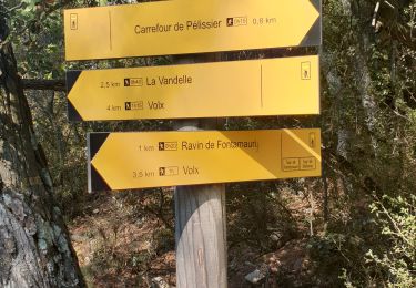
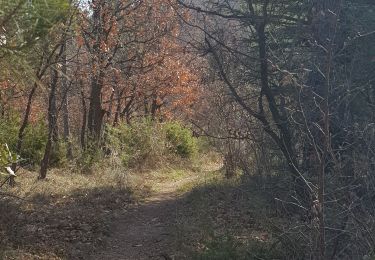
4.7 km | 6.5 km-effort


User


FREE GPS app for hiking
 SityTrail
IGN / Geographical institutes
SityTrail World
The world is yours!
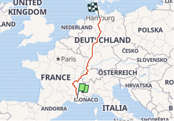
Trail Camping car of 1539 km to be discovered at Provence-Alpes-Côte d'Azur, Alpes-de-Haute-Provence, Manosque. This trail is proposed by lviallet.
1er nuit au bord du lac Leman dans un parking.
lat: 46.5018 long: 6.48629
2e nuit:Aire de stationnement mobilehomes
lat:50.5179 long:8.82235

Walking

Walking

Mountain bike

Walking
Walking
Trail
Walking
Walking
Walking