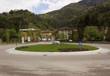
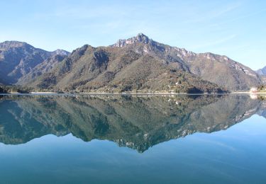
Trail Walking Ledro - The tops of Mezzolago - Photo
© OpenStreetMap contributors
Length
Length
6.6 km
Max alt
Max alt
1047 m
Uphill gradient
Uphill gradient
450 m
Km-Effort
Km-Effort  
12.6 km
Min alt
Min alt
663 m
Downhill gradient
Downhill gradient
454 m
Boucle
Boucle
Yes
Creation date :
2018-04-17 13:29:56.266
Updated on :
2018-04-17 13:29:56.266

(0 Reviews)

Walking
Walking
2h14
Difficulty : Medium

Scan this QR Code to open this trail in the SityTrail application

FREE GPS app for hiking

Logo SityTrail SityTrail

IGN / Geographical institutes

Download SityTrail from the App Store Download SityTrail from Google Play

Logo SityTrail SityTrail World

The world is yours!

Download SityTrail from the App Store Download SityTrail from Google Play Download SityTrail on Huawei AppGallery

About

Trail Walking of 6.6 km to be discovered at Trentino-Alto Adige/Südtirol, Provincia di Trento, Ledro. This trail is proposed by Dhendrickx71.

Description

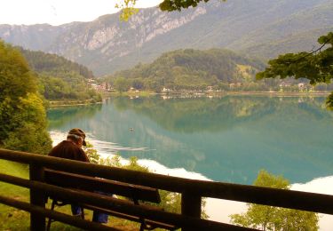
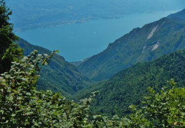
In Mezzolago, take the path that goes up to the calchiera. After about twenty meters turn left on a path that goes up and will follow the high voltage line to above Pieve. Once arrived on the path nr. 653 continue rising for ± 200m. The 653 then leaves the forest road Cornesei and climbs to the right into the forest. Once you have reached this forest road again, turn right and don't leave it until you get back to Mezzolago. All along the walk you will have a magnificent view of the lake.

Elevation profile

Positioning

Country:
Italy
Region :
Trentino-Alto Adige/Südtirol
Department/Province :
Provincia di Trento
Municipality :
Ledro
Location:
Unknown
Start:(UTM)
636115 ; 5082727 (32T) N.

Trails nearby

Trail On foot Ledro - Sentiero Austroungarico 1915-1918 - Photo
On foot
GUIDE+

On foot

Easy
Ledro, Trentino-Alto Adige/Südtirol, Provincia di Trento, Italy
7.2 km | 15 km-effort
3h 23min
No
Trail On foot Limone sul Garda - Agostino Tosi - Photo
On foot
GUIDE+

On foot

Easy
Limone sul Garda, Lombardy, Brescia, Italy
3.2 km | 7.6 km-effort
1h 43min
No
Trail On foot Ledro - Via de Ari e sentiero Rino Zanotti - Photo
On foot
GUIDE+

On foot

Easy
Ledro, Trentino-Alto Adige/Südtirol, Provincia di Trento, Italy
6.1 km | 11.6 km-effort
2h 38min
No
Trail On foot Ledro - Sentér de Giumela - Photo
On foot
GUIDE+

On foot

Easy
Ledro, Trentino-Alto Adige/Südtirol, Provincia di Trento, Italy
4.1 km | 7 km-effort
1h 35min
No
Trail On foot Ledro - Sentér de Saval - Photo
On foot
GUIDE+

On foot

Easy
Ledro, Trentino-Alto Adige/Südtirol, Provincia di Trento, Italy
5.7 km | 16.5 km-effort
3h 44min
No
Trail On foot Ledro - Sentér de Dromaé - Photo
On foot
GUIDE+

On foot

Easy
Ledro, Trentino-Alto Adige/Südtirol, Provincia di Trento, Italy
4.8 km | 8.2 km-effort
1h 51min
No
Trail Mountain bike Ledro - Lago di Ledro (Retour VTT à Arco) - Photo
Mountain bike
lopic125

Mountain bike

Very easy
(1)
Ledro, Trentino-Alto Adige/Südtirol, Provincia di Trento, Italy
21 km | 29 km-effort
1h 47min
No
Trail On foot Ledro - Sentiero botanico Val Dromaé - Photo
On foot
GUIDE+

On foot

Easy
Ledro, Trentino-Alto Adige/Südtirol, Provincia di Trento, Italy
7.4 km | 14.6 km-effort
3h 18min
Yes
Trail On foot Ledro - Via ferrata
On foot
GUIDE+

On foot

Easy
Ledro, Trentino-Alto Adige/Südtirol, Provincia di Trento, Italy
4.1 km | 7.3 km-effort
1h 39min
No


Close
My subscriptions