


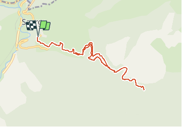

11.1 km | 23 km-effort


User


FREE GPS app for hiking
 SityTrail
IGN / Geographical institutes
SityTrail World
The world is yours!
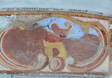
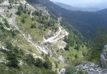
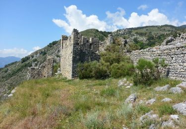
Trail Walking of 11.2 km to be discovered at Provence-Alpes-Côte d'Azur, Maritime Alps, Saorge. This trail is proposed by jlrayon.
Projet de rando du 21/11/17

On foot
On foot
On foot
On foot
On foot
On foot

Walking
Walking

Walking