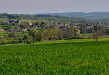

Lachapelle aux pots

Marie-Claire-mcp
User


2h37
Difficulty : Easy

FREE GPS app for hiking
About
Trail Walking of 10.2 km to be discovered at Hauts-de-France, Oise, Lachapelle-aux-Pots. This trail is proposed by Marie-Claire-mcp.
Description
Lachapelle aux pots, rue de la Gare - Voie verte jusqu'à Vivier Danger - route à gauche puis chemin à gauche au virage jusqu'à Lachapelle aux pots (rue de la ferme)puis rue de Gerberoy - continuer dans le bois jusqu'au Rutoire - Traverser la route et au bout du chemin à gauche puis direction Blacourt à droite et à la route à droite puis La Boissière et chemin noir à gauche - La Fontaine Modet à gauche - puis Voie verte à gauche jusqu'à Lachapelle aux pots
Positioning
Comments
Trails nearby

Mountain bike


Mountain bike


Walking


Walking


Walking


Walking


Walking


 SityTrail


