


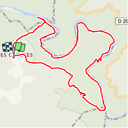

5.9 km | 9.4 km-effort


User GUIDE


FREE GPS app for hiking
 SityTrail
IGN / Geographical institutes
SityTrail World
The world is yours!
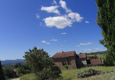
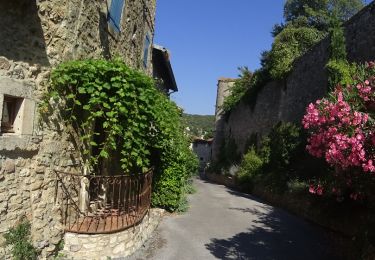
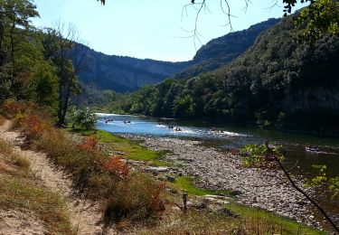
Trail Walking of 13.7 km to be discovered at Auvergne-Rhône-Alpes, Ardèche, Labastide-de-Virac. This trail is proposed by randodyssée.
cvl chn renee joelle 15 11 17 beau tps sec et froid

Walking

Walking

Walking

Walking

Walking

Mountain bike
Mountain bike
Mountain bike
Walking
La balade n’est pas “facile” comme annoncée! Échelle et main courante en début de parcours sur les berges de l’Ardeche. Passages difficiles à certains endroits.