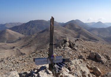
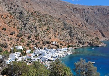
14.8 km | 25 km-effort
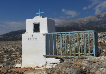
Chora- sfakion vers Eglise Stavros (direction Loutro)
annefrance70
User
Length
3.9 km
Max alt
103 m
Uphill gradient
199 m
Km-Effort
6.7 km
Min alt
0 m
Downhill gradient
238 m
Boucle
Yes
Creation date :
2018-11-11 15:19:42.351
Updated on :
2019-05-10 20:48:55.9
1h54
Difficulty : Difficult
FREE GPS app for hiking
About
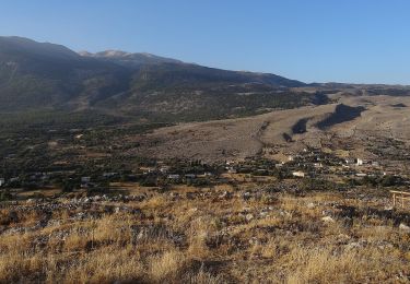
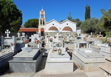
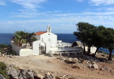
Trail Walking of 3.9 km to be discovered at Region of Crete, Chania Regional Unit. This trail is proposed by annefrance70.
Description
Chemin assez difficile, car à flanc de falaise pour le spersonnes sujettes au vertige.
Positioning
Country:
Greece
Region :
Region of Crete
Department/Province :
Chania Regional Unit
Municipality :
Órmos Sfakíon
Location:
Unknown
Start:(Dec)
Start:(UTM)
237567 ; 3899242 (35S) N.
Comments
Trails nearby
Gorges d'Imbros aller-retour (Rother 31)
Walking
Very difficult
,
Region of Crete,
Chania Regional Unit,
Greece
5h 35min
Yes
Chora Sfakion-Anopoli
On foot
Easy
,
Region of Crete,
Chania Regional Unit,
Greece
4.6 km | 10.6 km-effort
2h 24min
No
Anopoli-Mouri
On foot
Easy
,
Region of Crete,
Chania Regional Unit,
Greece
5.7 km | 11.2 km-effort
2h 33min
No
Anopoli-Livaniana
On foot
Easy
,
Region of Crete,
Chania Regional Unit,
Greece
4 km | 6.3 km-effort
1h 25min
No
Anopoli-Loutro
On foot
Easy
,
Region of Crete,
Chania Regional Unit,
Greece
4.3 km | 7 km-effort
1h 36min
No
Anopoli-Pachnes
On foot
Difficult
,
Region of Crete,
Chania Regional Unit,
Greece
15.6 km | 35 km-effort
7h 54min
No
2024-09-22 Loutro + extension
Trail
Medium
,
Region of Crete,
Chania Regional Unit,
Greece
11.5 km | 18.2 km-effort
2h 12min
Yes
Chora Sfakion-Georgítsi-Kavros
On foot
Easy
,
Region of Crete,
Chania Regional Unit,
Greece
3.2 km | 8.3 km-effort
1h 53min
No
Gorge d’Aradena (Crète)
Walking
Difficult
,
Region of Crete,
Chania Regional Unit,
Greece
15.5 km | 27 km-effort
6h 1min
No