


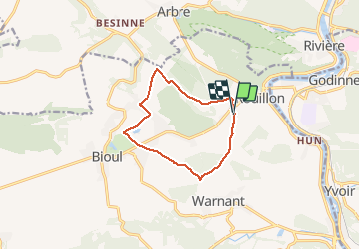

22 km | 28 km-effort

User


FREE GPS app for hiking
 SityTrail
IGN / Geographical institutes
SityTrail World
The world is yours!
Trail Walking of 9.1 km to be discovered at Wallonia, Namur, Anhée. This trail is proposed by GerardBouche.
Agréable randonnée forestière au départ de l'église... une longue montée dans le "Gros Bois"avant d'atteindre le village de Bioul. Le retour par "La Haute Bise", la fme de Gerlin et descente par le "Bois du Fond des Vaux" vers les "Jardins Français"
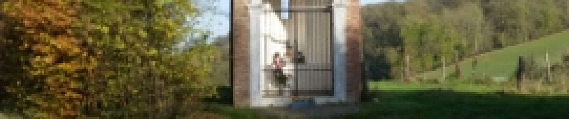
 - Photo 1")
 - Photo 2")
 - Photo 3")

Walking

Walking

Walking

Walking

Walking

Walking

Walking

Walking

Walking