


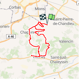


17.1 km | 23 km-effort

User


FREE GPS app for hiking
 SityTrail
IGN / Geographical institutes
SityTrail World
The world is yours!
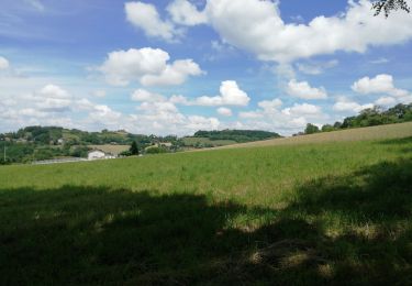
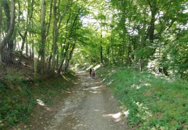
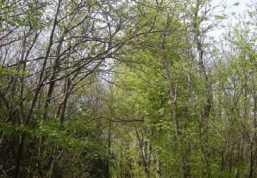
Trail Mountain bike of 31 km to be discovered at Auvergne-Rhône-Alpes, Rhône, Saint-Pierre-de-Chandieu. This trail is proposed by marc6262.
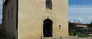
Ne manquez pas le détoure vers la chapelle d'Illins a Luzinay
Tres belle restauration elle est ouverte pour les journées du patrimoine
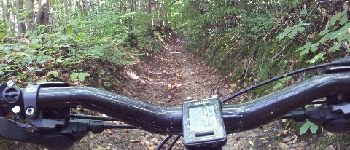
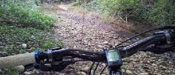
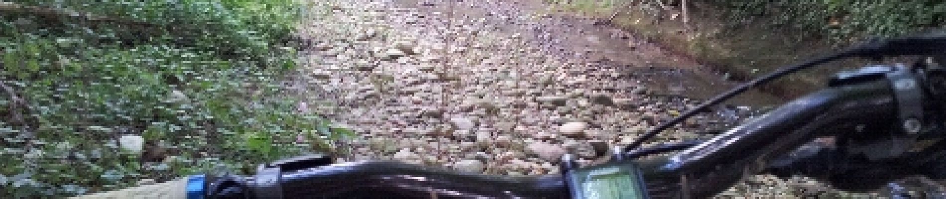
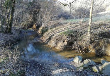
Attention, le parcours dans le ruisseau (km 30) est éprouvant ...)


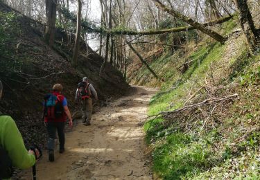
Walking

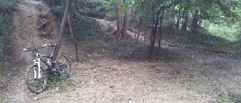
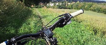
Mountain bike
Walking
Walking
Walking
Walking
Mountain bike
Mountain bike
Other activity