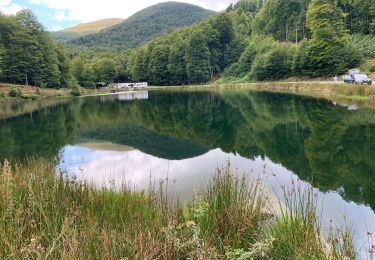
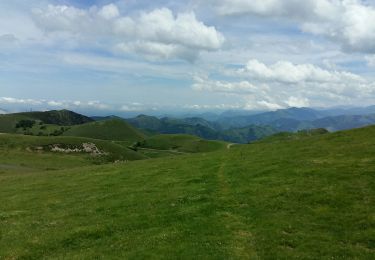
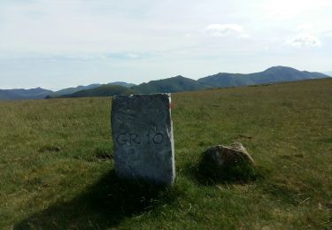
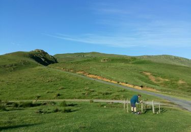
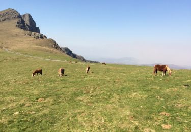
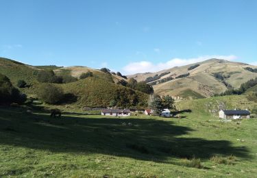
4.8 km | 7.2 km-effort
Pic d'Iraukotuturru
phijar
User
Length
16.9 km
Max alt
1129 m
Uphill gradient
736 m
Km-Effort
28 km
Min alt
234 m
Downhill gradient
1062 m
Boucle
No
Creation date :
2018-04-17 11:50:45.434
Updated on :
2018-04-17 11:50:45.434
4h05
Difficulty : Easy
FREE GPS app for hiking
About
Trail Walking of 16.9 km to be discovered at New Aquitaine, Pyrénées-Atlantiques, Lecumberry. This trail is proposed by phijar.
Description
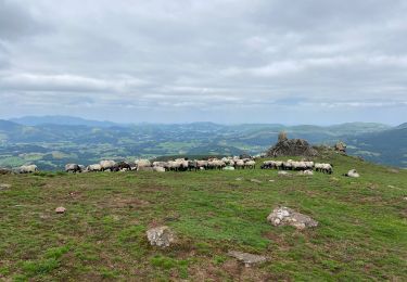
Pic d'Iraukotuturru à partir Esterenguibel
Positioning
Country:
France
Region :
New Aquitaine
Department/Province :
Pyrénées-Atlantiques
Municipality :
Lecumberry
Location:
Unknown
Start:(Dec)
Start:(UTM)
652240 ; 4771631 (30T) N.
Comments
Trails nearby
Buluntza, Vautours et Milans
sport
Very easy
Lecumberry,
New Aquitaine,
Pyrénées-Atlantiques,
France
Unknown
Yes
GR 10 7ème étape : gîte de Kaskoleta - com d’Okabe - chalet Iraty
Walking
Difficult
Estérençuby,
New Aquitaine,
Pyrénées-Atlantiques,
France
23 km | 41 km-effort
6h 27min
No
gr10t
Walking
Very difficult
Lecumberry,
New Aquitaine,
Pyrénées-Atlantiques,
France
12 km | 19.6 km-effort
6h 40min
No
okabe
Walking
Very difficult
Lecumberry,
New Aquitaine,
Pyrénées-Atlantiques,
France
12 km | 19.6 km-effort
2h 27min
No
GRT 8
Walking
Very difficult
Lecumberry,
New Aquitaine,
Pyrénées-Atlantiques,
France
13.3 km | 22 km-effort
37min
Yes
Okabe magique
Walking
Difficult
Lecumberry,
New Aquitaine,
Pyrénées-Atlantiques,
France
15.2 km | 25 km-effort
5h 31min
Yes
Iraty Okabe boucle
Walking
Medium
Mendive,
New Aquitaine,
Pyrénées-Atlantiques,
France
12.7 km | 20 km-effort
4h 17min
Yes
Iraty-Okabe
Walking
Difficult
Lecumberry,
New Aquitaine,
Pyrénées-Atlantiques,
France
15.5 km | 24 km-effort
4h 51min
Yes
TDP N°7 COL de L'IRAU LARRAU
Other activity
Very easy
Lecumberry,
New Aquitaine,
Pyrénées-Atlantiques,
France
17.7 km | 32 km-effort
6h 31min
No