


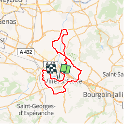

8.4 km | 10.6 km-effort


User


FREE GPS app for hiking
 SityTrail
IGN / Geographical institutes
SityTrail World
The world is yours!
Trail Cycle of 55 km to be discovered at Auvergne-Rhône-Alpes, Isère, Villefontaine. This trail is proposed by lapldc97418.
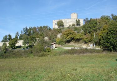
Départ et Arrivée Théâtre du Vellein. puis on longe l'etg de st Quentin Fallavier et on passe prés du Château par une montée puis on redescend sur St Quentin Fallavier pour rejoinde Bonnefamille puis c'est du roulant jusq'à Vaulx-Milieu. On passe St germain le Bois de la garenne pour rejoindre Frontonas il ya toujours du roulant. puis Jameysieu Retour sur Chamagnieu en passant pas loin de la Bourbre puis retour par la Verpilliere HP. au sortir de la Verpilliere prendre à gauche la piste cyclabe jusquà giratoire de Wolfen restez sur la piste cyclable on arrive au feu sur La D318 prendre à droite chemin qui méne au bourg au feu tout droit direction du village de villefontaine son Eglise et prendre direction le parc du Vellein

Walking
Mountain bike
Walking
Walking
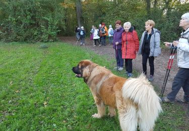
Walking
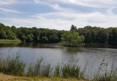
Bicycle tourism
Cycle
Mountain bike
Mountain bike