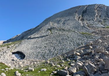
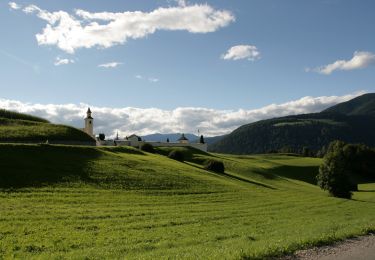
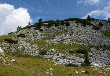
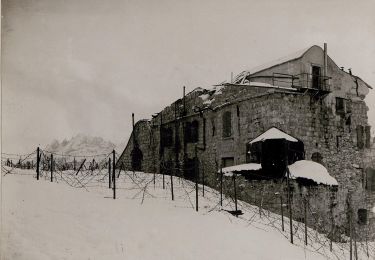
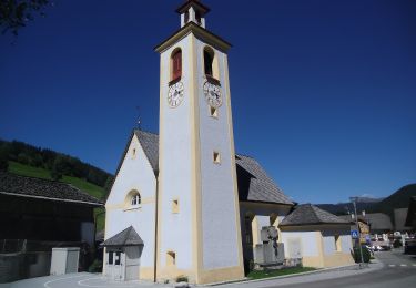
Trail Walking Prags - Braies - Lago di Braies - Photo
 libertju
libertju

User

© OpenStreetMap contributors
Length
Length
15.7 km
Max alt
Max alt
2382 m
Uphill gradient
Uphill gradient
1133 m
Km-Effort
Km-Effort  
31 km
Min alt
Min alt
1490 m
Downhill gradient
Downhill gradient
1133 m
Boucle
Boucle
Yes
Creation date :
2018-08-19 08:46:26.266
Updated on :
2018-08-19 08:46:26.266

(2 Reviews)

Walking
Walking
5h23
Difficulty : Very difficult

Scan this QR Code to open this trail in the SityTrail application

FREE GPS app for hiking

Logo SityTrail SityTrail

IGN / Geographical institutes

Download SityTrail from the App Store Download SityTrail from Google Play

Logo SityTrail SityTrail World

The world is yours!

Download SityTrail from the App Store Download SityTrail from Google Play Download SityTrail on Huawei AppGallery

About

Trail Walking of 15.7 km to be discovered at Trentino-Alto Adige/Südtirol, South Tyrol, Prags - Braies. This trail is proposed by libertju.

Elevation profile

Positioning

Country:
Italy
Region :
Trentino-Alto Adige/Südtirol
Department/Province :
South Tyrol
Municipality :
Prags - Braies
Location:
Unknown
Start:(UTM)
277190 ; 5175957 (33T) N.

Comments

Please log in to post a review or rate the element


Bonjour nous venons de rentrer de la region et avons suivi ce tracé. Tres bien realisé pour la montée jusqu’au col a 2300. Attendez vous a beaucoup de caillasse sur le parcours. Possibilité de stop au refuge de biela apres les 3h de montée avec restauration. En revanche le tracé de la descente doit être précisé notamment pour la dernière partie un chemin moins abrute et glissant existe en suivant le sentier 1 après avoir vue sur le lac. Un passage assez abrupte nécessite également d’avancer a l’aide de corde. A eviter pour les personnes pas habituées


Bonjour, Je me permets de commenter, j'ai trouvé votre blog super ! Juste une petite question qu'est ce que vous avez pris comme carte topo pour les régions des dolomites ? Je suis entrain de programmer mes rondos et j'aime bien avec les Topo. Merci pour vos réponses !


Trails nearby

Trail Walking Cortina d'Ampezzo - J 5 Refuge Lavarrella - Photo
Walking
GUIDE
jouans

Walking

Very difficult
Cortina d'Ampezzo, Veneto, Belluno, Italy
14.7 km | 24 km-effort
5h 31min
No
Trail On foot Cortina d'Ampezzo - IT-28 - Photo
On foot
GUIDE+

On foot

Easy
Cortina d'Ampezzo, Veneto, Belluno, Italy
11.4 km | 20 km-effort
4h 32min
No
Trail On foot Prags - Braies - IT-35 - Photo
On foot
GUIDE+

On foot

Easy
Prags - Braies, Trentino-Alto Adige/Südtirol, South Tyrol, Italy
4.9 km | 8.6 km-effort
1h 56min
No
Trail On foot Prags - Braies - IT-20 - Photo
On foot
GUIDE+

On foot

Medium
Prags - Braies, Trentino-Alto Adige/Südtirol, South Tyrol, Italy
11.7 km | 22 km-effort
4h 53min
No
Trail On foot Prags - Braies - IT-23 - Photo
On foot
GUIDE+

On foot

Easy
Prags - Braies, Trentino-Alto Adige/Südtirol, South Tyrol, Italy
7.1 km | 16.1 km-effort
3h 39min
No
Trail On foot Prags - Braies - IT-1 - Photo
On foot
GUIDE+

On foot

Easy
Prags - Braies, Trentino-Alto Adige/Südtirol, South Tyrol, Italy
8.4 km | 19.2 km-effort
4h 21min
No
Trail On foot Cortina d'Ampezzo - IT-26 - Photo
On foot
GUIDE+

On foot

Easy
Cortina d'Ampezzo, Veneto, Belluno, Italy
5 km | 7.6 km-effort
1h 43min
No
Trail On foot Prags - Braies - IT-37 - Photo
On foot
GUIDE+

On foot

Medium
Prags - Braies, Trentino-Alto Adige/Südtirol, South Tyrol, Italy
12.9 km | 22 km-effort
4h 56min
No
Trail On foot Prags - Braies - IT-2A - Photo
On foot
GUIDE+

On foot

Easy
Prags - Braies, Trentino-Alto Adige/Südtirol, South Tyrol, Italy
5.6 km | 7.2 km-effort
1h 37min
No


Close
My subscriptions