


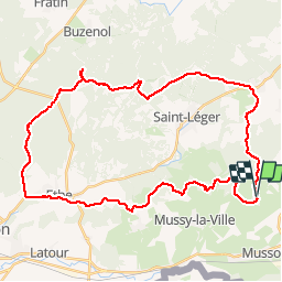


7.6 km | 9.8 km-effort

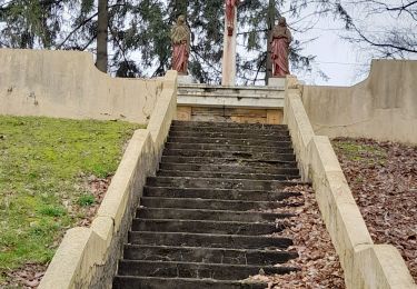
Passion Nature Contemplation


FREE GPS app for hiking
 SityTrail
IGN / Geographical institutes
SityTrail World
The world is yours!
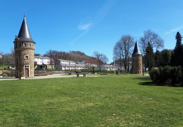
Trail Mountain bike of 38 km to be discovered at Wallonia, Luxembourg, Musson. This trail is proposed by Gaume tranquille.
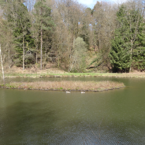
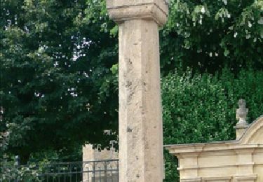
Très belle randonnées avec parcours techniques et sites exceptionnel s


Walking
Walking
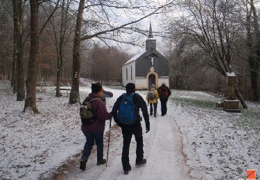
Walking

On foot

On foot

On foot
Walking
Walking

Walking