


8 km | 9.5 km-effort


User


FREE GPS app for hiking
 SityTrail
IGN / Geographical institutes
SityTrail World
The world is yours!
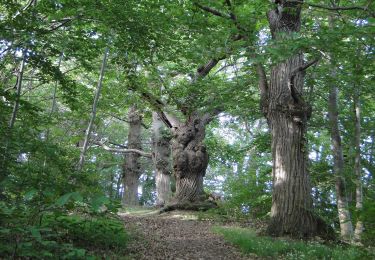
Trail Walking of 14.1 km to be discovered at Pays de la Loire, Mayenne, Saint-Germain-le-Fouilloux. This trail is proposed by Axelloceane.
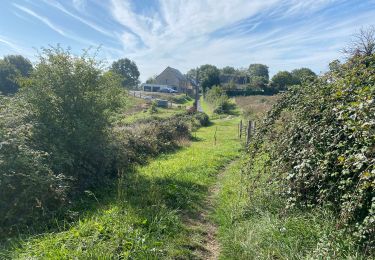
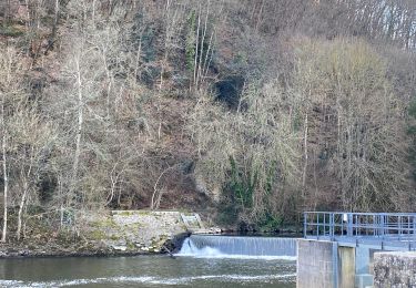
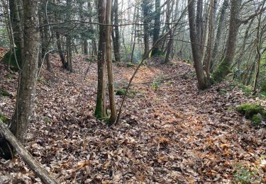
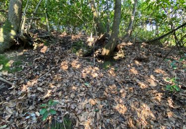
Départ du parking de St Germain le Fouilloux puis tourner à droite et suivre le balisage jusqu'à Changé.Ensuite descendre vers le plan d'eau du chemin vert en direction du centre ville de Changé et longer la Mayenne par le parc.
Traverser la route pour rejoindre la zone des montrons puis suivre la piste cyclable et prendre le tunnel direction le quartier des Ribaudières.Traverser l'ancienne caserne et ensuite poursuivre vers le quartier de Ste Catherine pour finir à la poste du centre ville.
 - Photo 1")
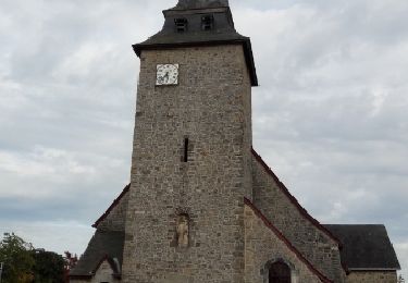
 - Photo 2")
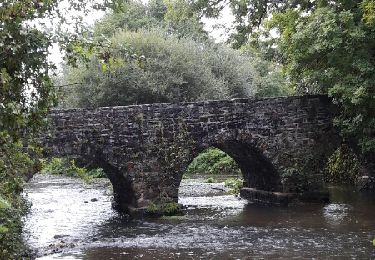
 - Photo 3")
Walking
Walking
Walking

Walking
Walking
Walking
Walking
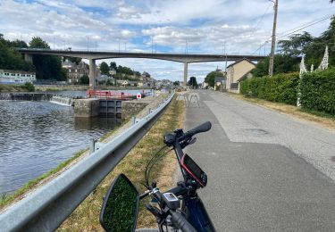
Bicycle tourism
On foot